

Easy ride in Columbus
A cycling route starting in Worthington, Ohio, United States of America.
Overview
About this route
- 1 h 12 min
- Duration
- 18 km
- Distance
- 41 m
- Ascent
- 85 m
- Descent
- 15 km/h
- Avg. speed
- ---
- Max. altitude

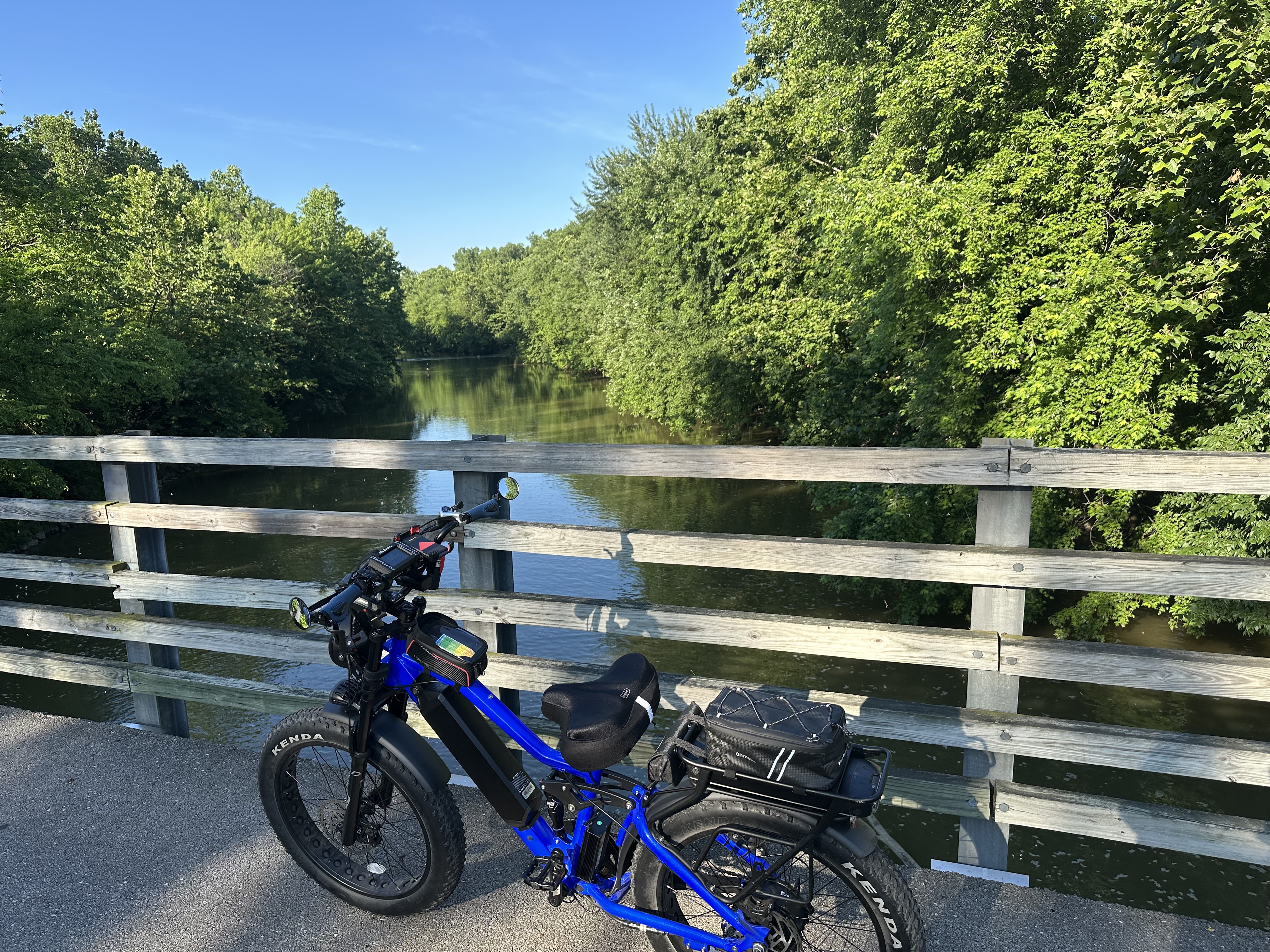
Route photos


Route quality
Waytypes & surfaces along the route
Waytypes
Cycleway
10.6 km
(59 %)
Quiet road
3 km
(17 %)
Surfaces
Paved
11.5 km
(64 %)
Asphalt
9.9 km
(55 %)
Paved (undefined)
1.5 km
(9 %)
Continue with Bikemap
Use, edit, or download this cycling route
You would like to ride Easy ride in Columbus or customize it for your own trip? Here is what you can do with this Bikemap route:
Free features
- Save this route as favorite or in collections
- Copy & plan your own version of this route
- Sync your route with Garmin or Wahoo
Premium features
Free trial for 3 days, or one-time payment. More about Bikemap Premium.
- Navigate this route on iOS & Android
- Export a GPX / KML file of this route
- Create your custom printout (try it for free)
- Download this route for offline navigation
Discover more Premium features.
Get Bikemap PremiumFrom our community
Other popular routes starting in Worthington
 Sydney
- Distance
- 11 km
- Ascent
- 28 m
- Descent
- 29 m
- Location
- Worthington, Ohio, United States of America
 Easy ride in Columbus
- Distance
- 18 km
- Ascent
- 41 m
- Descent
- 85 m
- Location
- Worthington, Ohio, United States of America
 Home to LDC Crew game
- Distance
- 15.4 km
- Ascent
- 22 m
- Descent
- 76 m
- Location
- Worthington, Ohio, United States of America
 Olentangy River Rd, Columbus to Olentangy River Rd, Columbus
- Distance
- 73.3 km
- Ascent
- 542 m
- Descent
- 536 m
- Location
- Worthington, Ohio, United States of America
 7760 Olentangy River Rd, Columbus to 7760 Olentangy River Rd, Columbus
- Distance
- 49.3 km
- Ascent
- 196 m
- Descent
- 197 m
- Location
- Worthington, Ohio, United States of America
 11 W Cooke Rd, Columbus to 2716 Calumet St, Columbus
- Distance
- 7 km
- Ascent
- 40 m
- Descent
- 40 m
- Location
- Worthington, Ohio, United States of America
 Antrim to OSU Horseshoe
- Distance
- 21.5 km
- Ascent
- 38 m
- Descent
- 38 m
- Location
- Worthington, Ohio, United States of America
 Wetmore Road 191, Columbus to Rivers Edge Drive 7720, Columbus
- Distance
- 11.6 km
- Ascent
- 36 m
- Descent
- 58 m
- Location
- Worthington, Ohio, United States of America
Open it in the app