
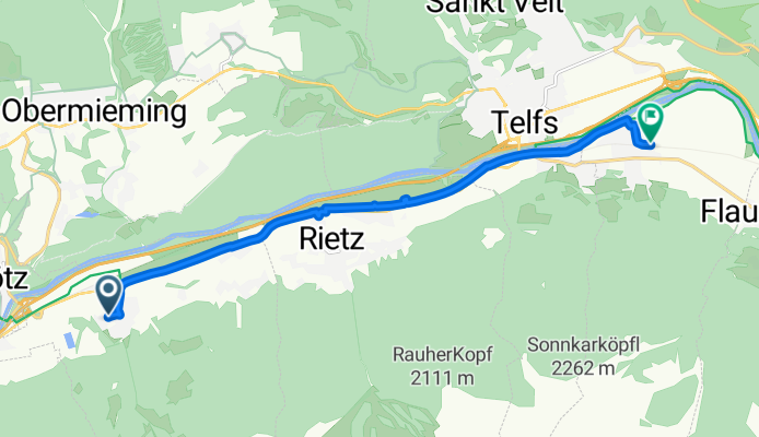
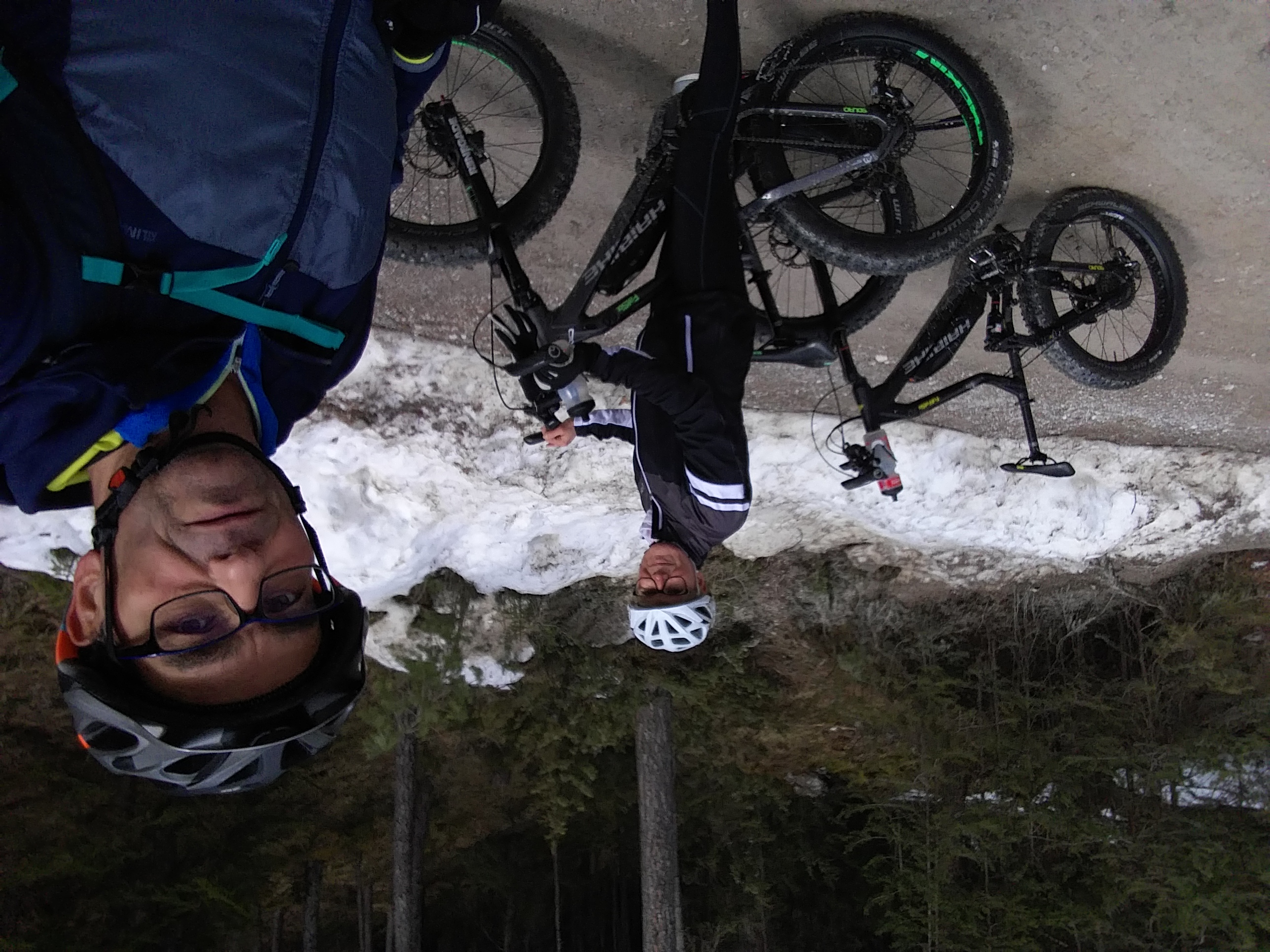
Stamser Alm
A cycling route starting in Stams, Tyrol, Austria.
Overview
About this route
- -:--
- Duration
- 10.7 km
- Distance
- 30 m
- Ascent
- 74 m
- Descent
- ---
- Avg. speed
- ---
- Max. altitude
Route quality
Waytypes & surfaces along the route
Waytypes
Track
7.1 km
(66 %)
Quiet road
2.6 km
(25 %)
Surfaces
Paved
10.5 km
(98 %)
Asphalt
10.5 km
(98 %)
Wood
0 km
(<1 %)
Undefined
0.2 km
(2 %)
Continue with Bikemap
Use, edit, or download this cycling route
You would like to ride Stamser Alm or customize it for your own trip? Here is what you can do with this Bikemap route:
Free features
- Save this route as favorite or in collections
- Copy & plan your own version of this route
- Sync your route with Garmin or Wahoo
Premium features
Free trial for 3 days, or one-time payment. More about Bikemap Premium.
- Navigate this route on iOS & Android
- Export a GPX / KML file of this route
- Create your custom printout (try it for free)
- Download this route for offline navigation
Discover more Premium features.
Get Bikemap PremiumFrom our community
Other popular routes starting in Stams
 T 2 - Via Claudia bis Pfunds
- Distance
- 69.8 km
- Ascent
- 625 m
- Descent
- 324 m
- Location
- Stams, Tyrol, Austria
 F SCHARTENKOGEL
- Distance
- 6.5 km
- Ascent
- 872 m
- Descent
- 42 m
- Location
- Stams, Tyrol, Austria
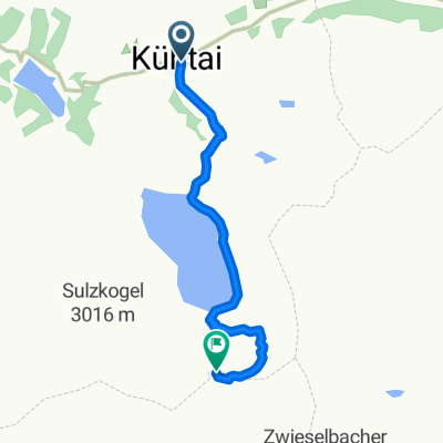
 Kuehtai - St. Leonhard
- Distance
- 122.8 km
- Ascent
- 1,950 m
- Descent
- 3,217 m
- Location
- Stams, Tyrol, Austria
 2014-Mo
- Distance
- 147 km
- Ascent
- 772 m
- Descent
- 959 m
- Location
- Stams, Tyrol, Austria
 Alpen 2023 Überblick
- Distance
- 228 km
- Ascent
- 8,047 m
- Descent
- 8,044 m
- Location
- Stams, Tyrol, Austria
 mit zeiftahren zum englischen Garten
- Distance
- 155.9 km
- Ascent
- 880 m
- Descent
- 1,011 m
- Location
- Stams, Tyrol, Austria
 0802_kühtai_telfs
- Distance
- 39.2 km
- Ascent
- 79 m
- Descent
- 1,481 m
- Location
- Stams, Tyrol, Austria
 Stams - Innsbruck
- Distance
- 37.2 km
- Ascent
- 31 m
- Descent
- 93 m
- Location
- Stams, Tyrol, Austria
Open it in the app