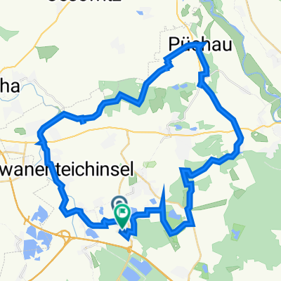
Fernradstrecke Brandis - Berlin
A cycling route starting in Brandis, Saxony, Germany.
Overview
About this route
Abwechslungsreiche zum Teil hügelige Fernradstrecke
- -:--
- Duration
- 167.1 km
- Distance
- 366 m
- Ascent
- 473 m
- Descent
- ---
- Avg. speed
- 178 m
- Max. altitude
Route quality
Waytypes & surfaces along the route
Waytypes
Busy road
75.8 km
(45 %)
Road
43.4 km
(26 %)
Surfaces
Paved
136.2 km
(82 %)
Unpaved
7 km
(4 %)
Asphalt
119.5 km
(72 %)
Paving stones
9.9 km
(6 %)
Continue with Bikemap
Use, edit, or download this cycling route
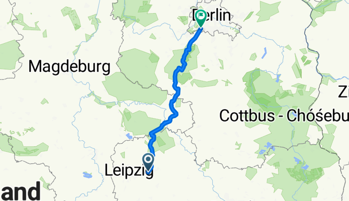
You would like to ride Fernradstrecke Brandis - Berlin or customize it for your own trip? Here is what you can do with this Bikemap route:
Free features
- Save this route as favorite or in collections
- Copy & plan your own version of this route
- Split it into stages to create a multi-day tour
- Sync your route with Garmin or Wahoo
Premium features
Free trial for 3 days, or one-time payment. More about Bikemap Premium.
- Navigate this route on iOS & Android
- Export a GPX / KML file of this route
- Create your custom printout (try it for free)
- Download this route for offline navigation
Discover more Premium features.
Get Bikemap PremiumFrom our community
Other popular routes starting in Brandis
- Fernradstrecke Brandis - Berlin
- Distance
- 167.1 km
- Ascent
- 366 m
- Descent
- 473 m
- Location
- Brandis, Saxony, Germany
- Leichte Muldenthalrunde
- Distance
- 60.5 km
- Ascent
- 137 m
- Descent
- 154 m
- Location
- Brandis, Saxony, Germany
- Beucha - Wurzen - Grimma - Beucha
- Distance
- 60.4 km
- Ascent
- 213 m
- Descent
- 214 m
- Location
- Brandis, Saxony, Germany
- BSZ 7 - Waldsteinberg (Version 1)
- Distance
- 20.3 km
- Ascent
- 12 m
- Descent
- 23 m
- Location
- Brandis, Saxony, Germany
- Lönsweg 23, Brandis nach Drosselgasse 3, Brandis
- Distance
- 41.9 km
- Ascent
- 1,025 m
- Descent
- 1,026 m
- Location
- Brandis, Saxony, Germany
- RT um Naunhof nordöstl. Leipzig
- Distance
- 60.6 km
- Ascent
- 218 m
- Descent
- 221 m
- Location
- Brandis, Saxony, Germany
- Einrollrunde nach der Winterpause
- Distance
- 32.6 km
- Ascent
- 64 m
- Descent
- 79 m
- Location
- Brandis, Saxony, Germany
- Grüner Ring Leipzig Teil 2
- Distance
- 84.8 km
- Ascent
- 230 m
- Descent
- 251 m
- Location
- Brandis, Saxony, Germany
Open it in the app