Tour de France
- 61.9 km
- 277 m
- 396 m
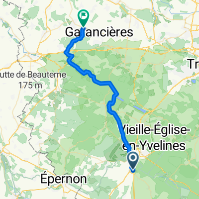
- Rambouillet, Île-de-France Region, France
A cycling route starting in Rambouillet, Île-de-France Region, France.
Overview
created this 6 years ago
Route quality
Quiet road
6.5 km
(39 %)
Road
5.2 km
(31 %)
Paved
6.3 km
(38 %)
Unpaved
3.5 km
(21 %)
Asphalt
6.3 km
(38 %)
Gravel
3.5 km
(21 %)
Undefined
6.8 km
(41 %)
Continue with Bikemap
You would like to ride Stage 5 Rambouillet to Épernon or customize it for your own trip? Here is what you can do with this Bikemap route:
Free trial for 3 days, or one-time payment. More about Bikemap Premium.
Discover more Premium features.
Get Bikemap PremiumFrom our community
Open it in the app