

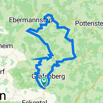
Rund um Gräfenberg/Hiltpoltstein
A cycling route starting in Igensdorf, Bavaria, Germany.
Overview
About this route
- -:--
- Duration
- 56.1 km
- Distance
- 585 m
- Ascent
- 584 m
- Descent
- ---
- Avg. speed
- ---
- Max. altitude
Route quality
Waytypes & surfaces along the route
Waytypes
Quiet road
19.6 km
(35 %)
Road
16.3 km
(29 %)
Surfaces
Paved
33.1 km
(59 %)
Unpaved
4.5 km
(8 %)
Asphalt
32.5 km
(58 %)
Gravel
2.8 km
(5 %)
Continue with Bikemap
Use, edit, or download this cycling route
You would like to ride Rund um Gräfenberg/Hiltpoltstein or customize it for your own trip? Here is what you can do with this Bikemap route:
Free features
- Save this route as favorite or in collections
- Copy & plan your own version of this route
- Sync your route with Garmin or Wahoo
Premium features
Free trial for 3 days, or one-time payment. More about Bikemap Premium.
- Navigate this route on iOS & Android
- Export a GPX / KML file of this route
- Create your custom printout (try it for free)
- Download this route for offline navigation
Discover more Premium features.
Get Bikemap PremiumFrom our community
Other popular routes starting in Igensdorf
 Rund um Gräfenberg/Hiltpoltstein
- Distance
- 56.1 km
- Ascent
- 585 m
- Descent
- 584 m
- Location
- Igensdorf, Bavaria, Germany
 1. Etappe ( Sestri Levante - Vesuvio )
- Distance
- 6.6 km
- Ascent
- 101 m
- Descent
- 60 m
- Location
- Igensdorf, Bavaria, Germany
 3 Berge um Igensdorf
- Distance
- 18.6 km
- Ascent
- 590 m
- Descent
- 591 m
- Location
- Igensdorf, Bavaria, Germany
 Weiher 20km
- Distance
- 19.3 km
- Ascent
- 153 m
- Descent
- 164 m
- Location
- Igensdorf, Bavaria, Germany
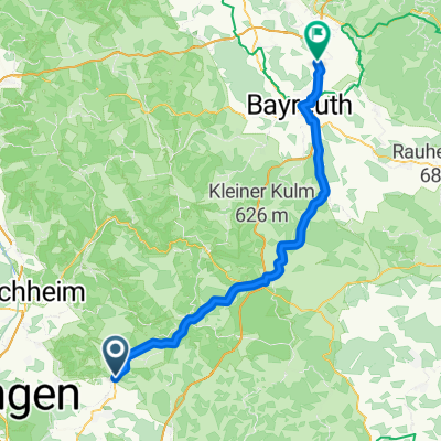 Igensdorf - Bindlach
- Distance
- 64.5 km
- Ascent
- 156 m
- Descent
- 120 m
- Location
- Igensdorf, Bavaria, Germany
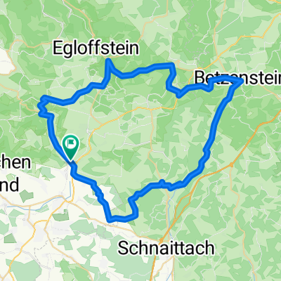
 Fränkische Schweiz
- Distance
- 74.1 km
- Ascent
- 1,413 m
- Descent
- 1,411 m
- Location
- Igensdorf, Bavaria, Germany
 Durch_die_Sdliche_Frnkische
- Distance
- 35.7 km
- Ascent
- 640 m
- Descent
- 642 m
- Location
- Igensdorf, Bavaria, Germany
 Kleine Hausrunde über Simmelsdorf
- Distance
- 24.3 km
- Ascent
- 370 m
- Descent
- 346 m
- Location
- Igensdorf, Bavaria, Germany
Open it in the app