Büscherl am 31.07.2013
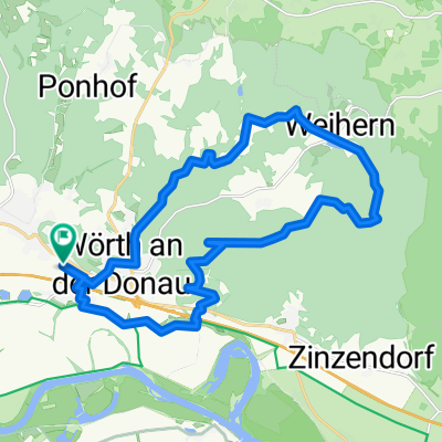
- 46.9 km
- 589 m
- 576 m
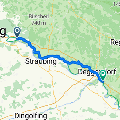
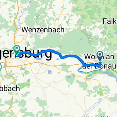
- Wörth an der Donau, Bavaria, Germany
A cycling route starting in Wörth an der Donau, Bavaria, Germany.
Overview
Twice the path shown on the map was missing in reality
created this 6 years ago
Route quality
Track
21.7 km
(53 %)
Quiet road
9.4 km
(23 %)
Paved
17.2 km
(42 %)
Unpaved
16.8 km
(41 %)
Asphalt
16.4 km
(40 %)
Gravel
11.9 km
(29 %)
Continue with Bikemap
You would like to ride Kobel or customize it for your own trip? Here is what you can do with this Bikemap route:
Free trial for 3 days, or one-time payment. More about Bikemap Premium.
Discover more Premium features.
Get Bikemap PremiumFrom our community
Open it in the app