

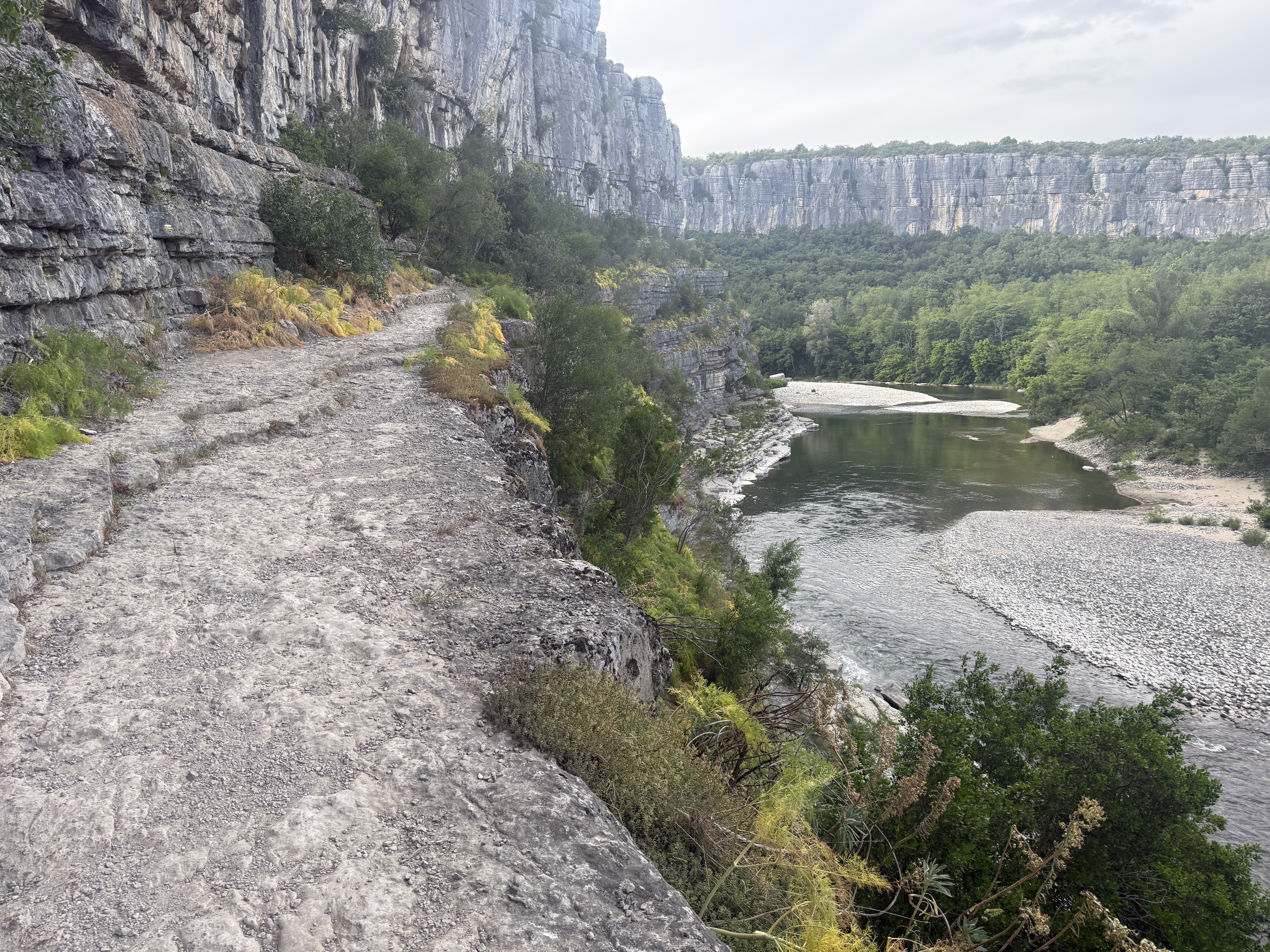
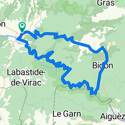
Balazuc-LaPont
A cycling route starting in Ruoms, Auvergne-Rhône-Alpes, France.
Overview
About this route
- -:--
- Duration
- 16.9 km
- Distance
- 230 m
- Ascent
- 229 m
- Descent
- ---
- Avg. speed
- ---
- Max. altitude

Route quality
Waytypes & surfaces along the route
Waytypes
Road
10.3 km
(61 %)
Quiet road
3.5 km
(21 %)
Surfaces
Paved
7.9 km
(47 %)
Unpaved
0.3 km
(2 %)
Asphalt
7.9 km
(47 %)
Gravel
0.3 km
(2 %)
Undefined
8.6 km
(51 %)
Continue with Bikemap
Use, edit, or download this cycling route
You would like to ride Balazuc-LaPont or customize it for your own trip? Here is what you can do with this Bikemap route:
Free features
- Save this route as favorite or in collections
- Copy & plan your own version of this route
- Sync your route with Garmin or Wahoo
Premium features
Free trial for 3 days, or one-time payment. More about Bikemap Premium.
- Navigate this route on iOS & Android
- Export a GPX / KML file of this route
- Create your custom printout (try it for free)
- Download this route for offline navigation
Discover more Premium features.
Get Bikemap PremiumFrom our community
Other popular routes starting in Ruoms
 frr_ardeche_vpd_110km
- Distance
- 110.9 km
- Ascent
- 871 m
- Descent
- 867 m
- Location
- Ruoms, Auvergne-Rhône-Alpes, France
 largorce vallon
- Distance
- 24.7 km
- Ascent
- 1,155 m
- Descent
- 1,168 m
- Location
- Ruoms, Auvergne-Rhône-Alpes, France
 Sampzon-Chandolas-Col de la Serre-Salavas
- Distance
- 47.6 km
- Ascent
- 1,030 m
- Descent
- 1,029 m
- Location
- Ruoms, Auvergne-Rhône-Alpes, France
 vallon7
- Distance
- 66.2 km
- Ascent
- 612 m
- Descent
- 627 m
- Location
- Ruoms, Auvergne-Rhône-Alpes, France
 Chemin de Faussimagne, Chauzon nach Chemin de Faussimagne, Chauzon
- Distance
- 29.1 km
- Ascent
- 269 m
- Descent
- 271 m
- Location
- Ruoms, Auvergne-Rhône-Alpes, France
 lagorce bouvier
- Distance
- 16.3 km
- Ascent
- 1,967 m
- Descent
- 1,977 m
- Location
- Ruoms, Auvergne-Rhône-Alpes, France
 Balazuc-LaPont
- Distance
- 16.9 km
- Ascent
- 230 m
- Descent
- 229 m
- Location
- Ruoms, Auvergne-Rhône-Alpes, France
 Vallon Pont d'Arc -Bidon-Gorges Ardèche
- Distance
- 51.8 km
- Ascent
- 594 m
- Descent
- 594 m
- Location
- Ruoms, Auvergne-Rhône-Alpes, France
Open it in the app