

Johan-Tim ride
A cycling route starting in Rochester, New York, United States.
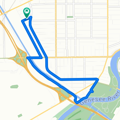
Overview
About this route
monroe Ave to holley
- -:--
- Duration
- 43.8 km
- Distance
- 123 m
- Ascent
- 122 m
- Descent
- ---
- Avg. speed
- ---
- Max. altitude

Continue with Bikemap
Use, edit, or download this cycling route
You would like to ride Johan-Tim ride or customize it for your own trip? Here is what you can do with this Bikemap route:
Free features
- Save this route as favorite or in collections
- Copy & plan your own version of this route
- Sync your route with Garmin or Wahoo
Premium features
Free trial for 3 days, or one-time payment. More about Bikemap Premium.
- Navigate this route on iOS & Android
- Export a GPX / KML file of this route
- Create your custom printout (try it for free)
- Download this route for offline navigation
Discover more Premium features.
Get Bikemap PremiumFrom our community
Other popular routes starting in Rochester
 Empire State Trail, Rochester to 4797–4899 Lake Ave, Rochester
- Distance
- 36.1 km
- Ascent
- 145 m
- Descent
- 217 m
- Location
- Rochester, New York, United States
 short ride w mel
- Distance
- 6.5 km
- Ascent
- 19 m
- Descent
- 18 m
- Location
- Rochester, New York, United States
 Test1
Test1- Distance
- 27.1 km
- Ascent
- 63 m
- Descent
- 61 m
- Location
- Rochester, New York, United States
 Rochester Canal Ride
- Distance
- 11.8 km
- Ascent
- 35 m
- Descent
- 42 m
- Location
- Rochester, New York, United States
 33 Corporate Woods, Rochester to 33 Corporate Woods, Rochester
- Distance
- 19.1 km
- Ascent
- 135 m
- Descent
- 137 m
- Location
- Rochester, New York, United States
 UR/Erie canal/college town
- Distance
- 17.3 km
- Ascent
- 358 m
- Descent
- 360 m
- Location
- Rochester, New York, United States
 Biking to the Farm
- Distance
- 147.6 km
- Ascent
- 898 m
- Descent
- 468 m
- Location
- Rochester, New York, United States
 Project Pick-Me-Up Bike Ride
- Distance
- 2 km
- Ascent
- 10 m
- Descent
- 9 m
- Location
- Rochester, New York, United States
Open it in the app