

ZEPPELIN2010_altmuhtal CLONED FROM ROUTE 399338
A cycling route starting in Neusitz, Bavaria, Germany.
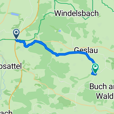
Overview
About this route
Pernottamento a Rothenburg ob der Tauber,<br />Ansbach, Weisenburg, Eichstatt, Regensburg.
- -:--
- Duration
- 214.3 km
- Distance
- 772 m
- Ascent
- 935 m
- Descent
- ---
- Avg. speed
- ---
- Max. altitude
Route quality
Waytypes & surfaces along the route
Waytypes
Track
30 km
(14 %)
Road
27.9 km
(13 %)
Surfaces
Paved
167.1 km
(78 %)
Unpaved
17.1 km
(8 %)
Asphalt
162.8 km
(76 %)
Gravel
8.6 km
(4 %)
Continue with Bikemap
Use, edit, or download this cycling route
You would like to ride ZEPPELIN2010_altmuhtal CLONED FROM ROUTE 399338 or customize it for your own trip? Here is what you can do with this Bikemap route:
Free features
- Save this route as favorite or in collections
- Copy & plan your own version of this route
- Split it into stages to create a multi-day tour
- Sync your route with Garmin or Wahoo
Premium features
Free trial for 3 days, or one-time payment. More about Bikemap Premium.
- Navigate this route on iOS & Android
- Export a GPX / KML file of this route
- Create your custom printout (try it for free)
- Download this route for offline navigation
Discover more Premium features.
Get Bikemap PremiumFrom our community
Other popular routes starting in Neusitz
 Brombachsee
- Distance
- 72.4 km
- Ascent
- 1,005 m
- Descent
- 927 m
- Location
- Neusitz, Bavaria, Germany
 Lutz Tirol 2014
- Distance
- 1,238.8 km
- Ascent
- 7,313 m
- Descent
- 7,498 m
- Location
- Neusitz, Bavaria, Germany
 Rothenburg-Dombühl-Schillingsfürst-Rothenburg
- Distance
- 47.1 km
- Ascent
- 348 m
- Descent
- 348 m
- Location
- Neusitz, Bavaria, Germany
 Im Dorf nach Lauterbach
- Distance
- 17 km
- Ascent
- 153 m
- Descent
- 157 m
- Location
- Neusitz, Bavaria, Germany
 Muhr am See
- Distance
- 60.4 km
- Ascent
- 323 m
- Descent
- 286 m
- Location
- Neusitz, Bavaria, Germany
 Daniels Radtour
- Distance
- 17.7 km
- Ascent
- 80 m
- Descent
- 132 m
- Location
- Neusitz, Bavaria, Germany
 Frankenhöhe
- Distance
- 20 km
- Ascent
- 261 m
- Descent
- 261 m
- Location
- Neusitz, Bavaria, Germany
 Kirchfeldring 16, Neusitz nach Schweinsdorfer Straße 10, Rothenburg ob der Tauber
- Distance
- 89.7 km
- Ascent
- 832 m
- Descent
- 809 m
- Location
- Neusitz, Bavaria, Germany
Open it in the app