

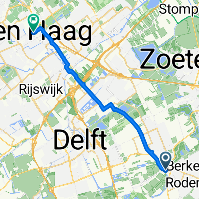
Rondje om Alphen - Ter Aar
A cycling route starting in Berkel en Rodenrijs, South Holland, The Netherlands.
Overview
About this route
- -:--
- Duration
- 93 km
- Distance
- 0 m
- Ascent
- 0 m
- Descent
- ---
- Avg. speed
- ---
- Max. altitude
Route quality
Waytypes & surfaces along the route
Waytypes
Cycleway
67 km
(72 %)
Quiet road
15.8 km
(17 %)
Surfaces
Paved
67 km
(72 %)
Unpaved
0.9 km
(1 %)
Asphalt
67 km
(72 %)
Loose gravel
0.9 km
(1 %)
Undefined
25.1 km
(27 %)
Route highlights
Points of interest along the route
Drinking water after 48.5 km
Continue with Bikemap
Use, edit, or download this cycling route
You would like to ride Rondje om Alphen - Ter Aar or customize it for your own trip? Here is what you can do with this Bikemap route:
Free features
- Save this route as favorite or in collections
- Copy & plan your own version of this route
- Split it into stages to create a multi-day tour
- Sync your route with Garmin or Wahoo
Premium features
Free trial for 3 days, or one-time payment. More about Bikemap Premium.
- Navigate this route on iOS & Android
- Export a GPX / KML file of this route
- Create your custom printout (try it for free)
- Download this route for offline navigation
Discover more Premium features.
Get Bikemap PremiumFrom our community
Other popular routes starting in Berkel en Rodenrijs
 Berberisweg 346, Rotterdam naar Mathenesserplein 76, Rotterdam
- Distance
- 8.8 km
- Ascent
- 20 m
- Descent
- 19 m
- Location
- Berkel en Rodenrijs, South Holland, The Netherlands
 Zuringstraat, Rotterdam naar Samuel Mullerplein, Rotterdam
- Distance
- 7.2 km
- Ascent
- 9 m
- Descent
- 3 m
- Location
- Berkel en Rodenrijs, South Holland, The Netherlands
 Berkel en Rodenrijs - La Haye
- Distance
- 15.6 km
- Ascent
- 29 m
- Descent
- 16 m
- Location
- Berkel en Rodenrijs, South Holland, The Netherlands
 Ton ronde
- Distance
- 23.1 km
- Ascent
- 0 m
- Descent
- 0 m
- Location
- Berkel en Rodenrijs, South Holland, The Netherlands
 Dotterbloemstraat 30, Rotterdam naar Mathenesserplein 79, Rotterdam
- Distance
- 8 km
- Ascent
- 27 m
- Descent
- 19 m
- Location
- Berkel en Rodenrijs, South Holland, The Netherlands
 wassenaar - hoek v holland
- Distance
- 96.3 km
- Ascent
- 27 m
- Descent
- 24 m
- Location
- Berkel en Rodenrijs, South Holland, The Netherlands
 From Berkel en Rodenrijs to Zoetermeer
- Distance
- 11 km
- Ascent
- 9 m
- Descent
- 0 m
- Location
- Berkel en Rodenrijs, South Holland, The Netherlands
 Bodegraven - Leidschendam
- Distance
- 82.9 km
- Ascent
- 0 m
- Descent
- 0 m
- Location
- Berkel en Rodenrijs, South Holland, The Netherlands
Open it in the app