

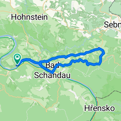
Königstein-Ostrov-Königstein
A cycling route starting in Königstein, Saxony, Germany.
Overview
About this route
- -:--
- Duration
- 51.4 km
- Distance
- 721 m
- Ascent
- 721 m
- Descent
- ---
- Avg. speed
- ---
- Max. altitude
Route quality
Waytypes & surfaces along the route
Waytypes
Track
17 km
(33 %)
Road
6.7 km
(13 %)
Surfaces
Paved
28.3 km
(55 %)
Unpaved
15.9 km
(31 %)
Asphalt
28.3 km
(55 %)
Gravel
8.7 km
(17 %)
Continue with Bikemap
Use, edit, or download this cycling route
You would like to ride Königstein-Ostrov-Königstein or customize it for your own trip? Here is what you can do with this Bikemap route:
Free features
- Save this route as favorite or in collections
- Copy & plan your own version of this route
- Sync your route with Garmin or Wahoo
Premium features
Free trial for 3 days, or one-time payment. More about Bikemap Premium.
- Navigate this route on iOS & Android
- Export a GPX / KML file of this route
- Create your custom printout (try it for free)
- Download this route for offline navigation
Discover more Premium features.
Get Bikemap PremiumFrom our community
Other popular routes starting in Königstein
 Bielatal - Schneeberg - Runde
- Distance
- 29.1 km
- Ascent
- 461 m
- Descent
- 461 m
- Location
- Königstein, Saxony, Germany
 H46: Im Tal der Biela
- Distance
- 13 km
- Ascent
- 203 m
- Descent
- 198 m
- Location
- Königstein, Saxony, Germany
 kleine Trainingsrunde
- Distance
- 52.2 km
- Ascent
- 810 m
- Descent
- 801 m
- Location
- Königstein, Saxony, Germany
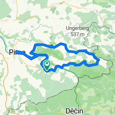
 Königstein-Pirna-Wehlen-Königstein
- Distance
- 43 km
- Ascent
- 728 m
- Descent
- 728 m
- Location
- Königstein, Saxony, Germany
 ERW2: Königstein Bahnhof-Elbradweg-Meißen Bhf.
- Distance
- 65.7 km
- Ascent
- 1,226 m
- Descent
- 1,238 m
- Location
- Königstein, Saxony, Germany
 Königstein Pirna
- Distance
- 17 km
- Ascent
- 224 m
- Descent
- 223 m
- Location
- Königstein, Saxony, Germany
 Elbe-Bastei-Kirnitschtal
- Distance
- 88.6 km
- Ascent
- 1,149 m
- Descent
- 1,205 m
- Location
- Königstein, Saxony, Germany
 Königstein-Lichtenhain-Bad Schandau-Königstein
- Distance
- 28.7 km
- Ascent
- 579 m
- Descent
- 578 m
- Location
- Königstein, Saxony, Germany
Open it in the app