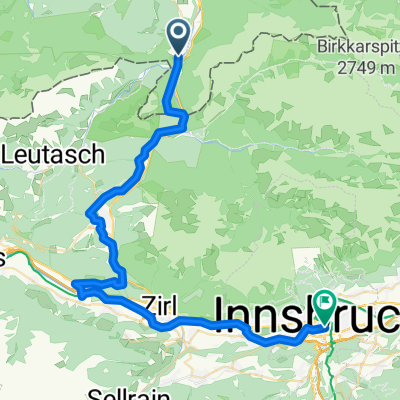
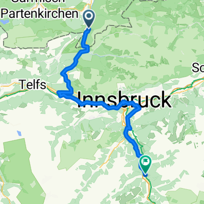
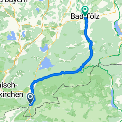
Mittenwald wattens 65 670
- 63.9 km
- 659 m
- 1,010 m
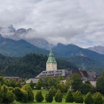
- Mittenwald, Bavaria, Germany
Overview
119km / 1.213hm
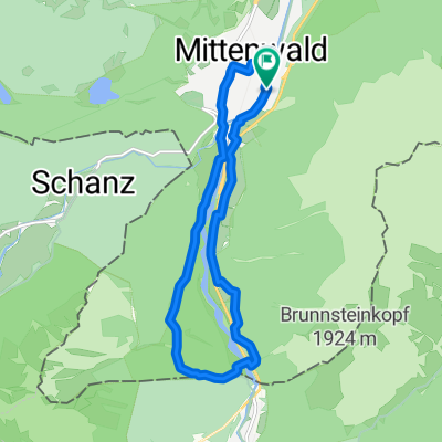
Buchener Sattel - Brenner Pass 43.5km 800hm
created this 6 years ago
Part of
5 stages
Route quality
Cycleway
23.8 km
(20 %)
Road
17.9 km
(15 %)
Paved
114.3 km
(96 %)
Unpaved
2.4 km
(2 %)
Asphalt
114.3 km
(96 %)
Unpaved (undefined)
1.2 km
(1 %)
Continue with Bikemap
You would like to ride RSC Transalp 2021.1 or customize it for your own trip? Here is what you can do with this Bikemap route:
Free trial for 3 days, or one-time payment. More about Bikemap Premium.
Discover more Premium features.
Get Bikemap PremiumFrom our community
Open it in the app