5 Berge
- 68.8 km
- 1,713 m
- 1,581 m
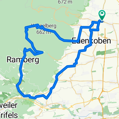
- Maikammer, Rhineland-Palatinate, Germany
A cycling route starting in Maikammer, Rhineland-Palatinate, Germany.
Overview
created this 6 years ago
Route quality
Quiet road
9 km
(41 %)
Track
5.5 km
(25 %)
Paved
16.9 km
(77 %)
Asphalt
12.9 km
(59 %)
Paved (undefined)
2.6 km
(12 %)
Continue with Bikemap
You would like to ride Neustadt-kleine Runde or customize it for your own trip? Here is what you can do with this Bikemap route:
Free trial for 3 days, or one-time payment. More about Bikemap Premium.
Discover more Premium features.
Get Bikemap PremiumFrom our community
Open it in the app