Auf den Berg und runter
- 35.1 km
- 409 m
- 409 m
- Königsfeld im Schwarzwald, Baden-Wurttemberg, Germany
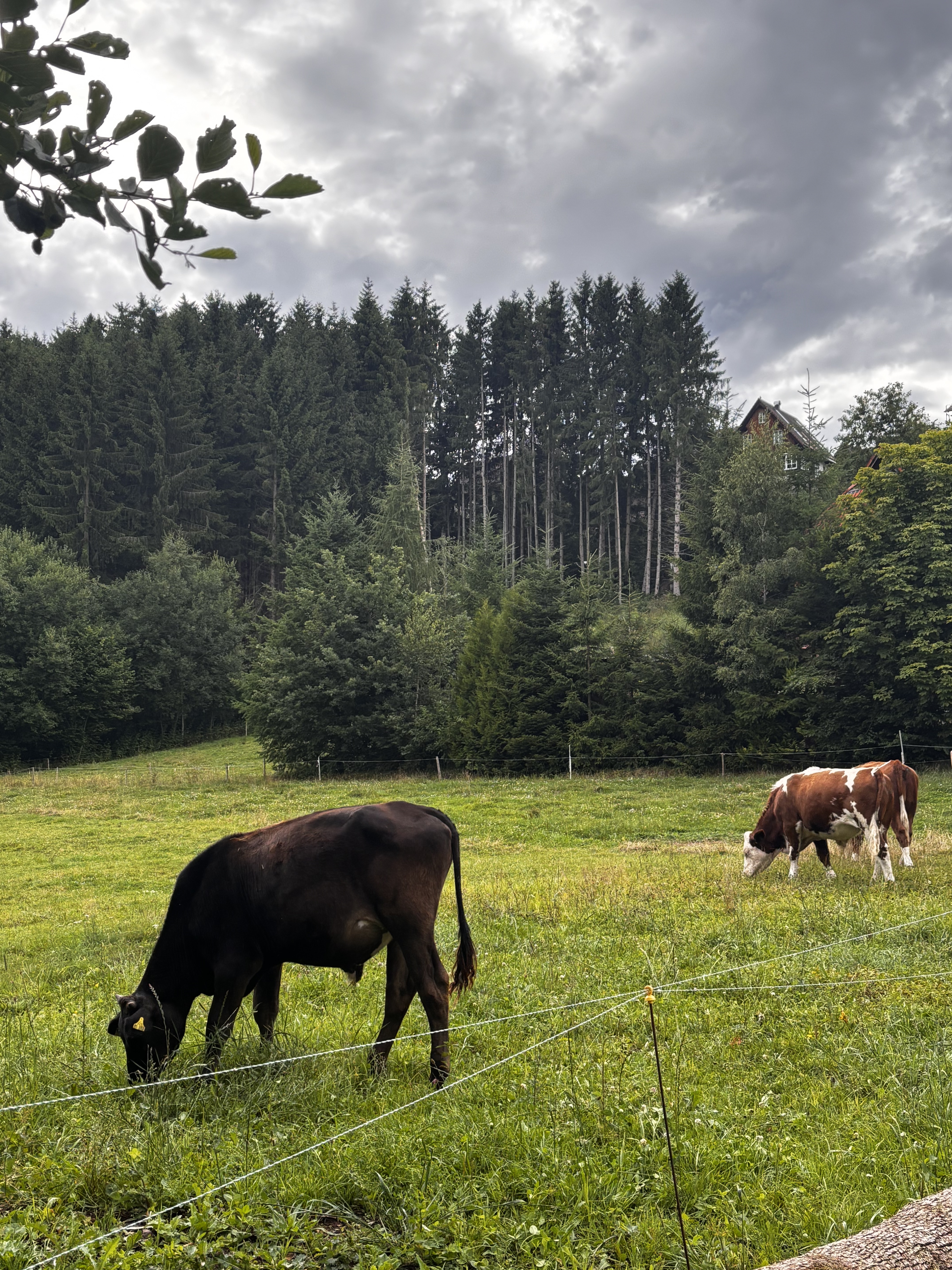
Very varied route over the Baar plateau to Tannheim. Via Zinselstein to the romantic Bregradweg up to Vöhrenbach. Then uphill to Kesselberg and back via Stockburg. The route is paved except for the section of Bregradweg. Can be easily cycled with a city bike.
Quiet road
20.9 km42 %Road
11.9 km24 %Paved
33.3 km(67 %)Unpaved
9.9 km(20 %)Asphalt
33.3 km67 %Loose gravel
5 km10 %Free trial for 3 days, or one-time payment. More about Bikemap Premium.
Discover more Premium features.
Get Bikemap PremiumOpen it in the app