

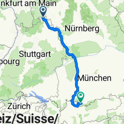
Wertheim - Augsburg
A cycling route starting in Wertheim am Main, Baden-Wurttemberg, Germany.
Overview
About this route
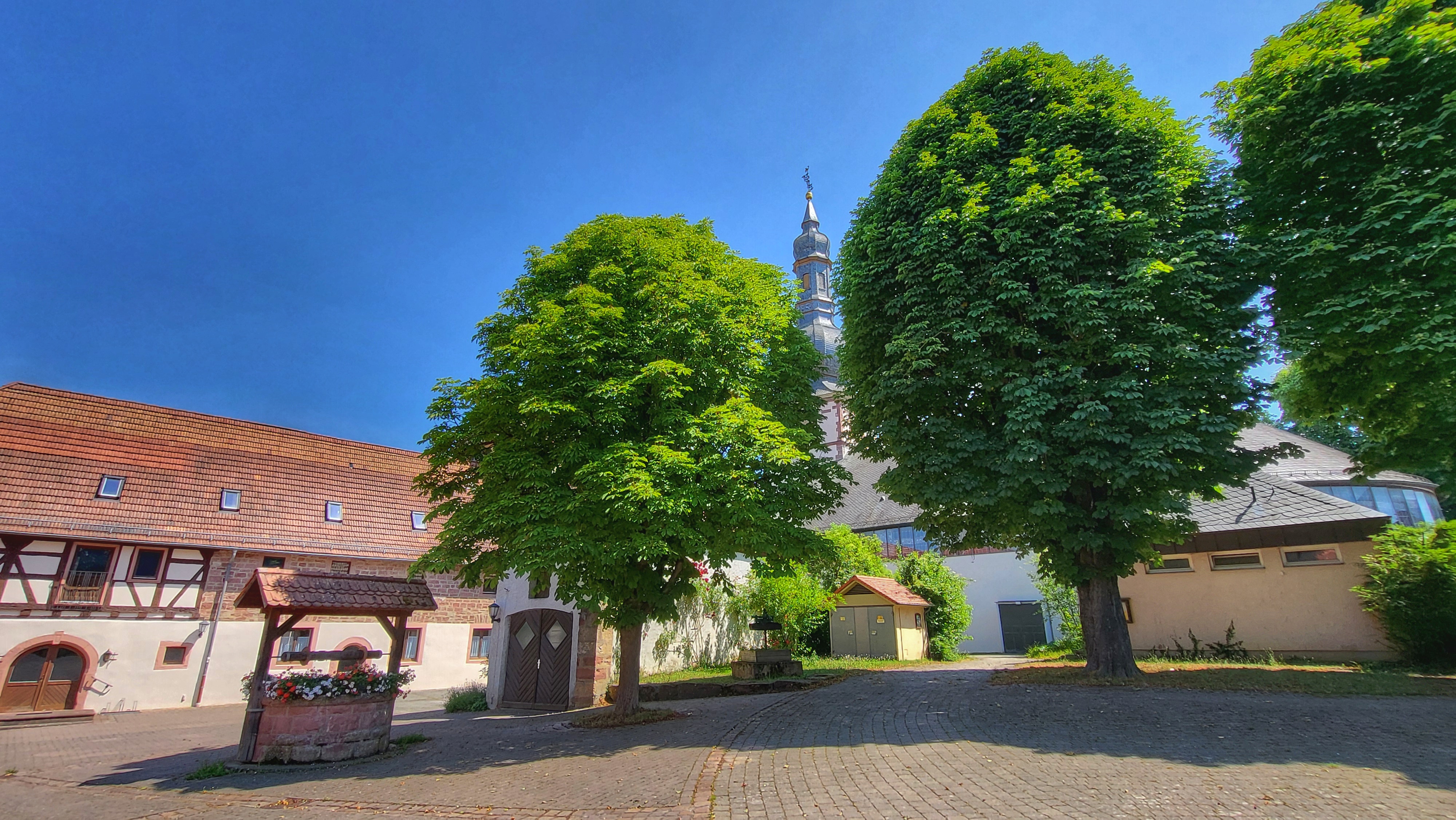
Start: Wertheim
Ende: Augsburg
Tauber/Wörnitz/Lech
Teile der Romantischen Straße mit Abweichungen
- -:--
- Duration
- 263.2 km
- Distance
- 577 m
- Ascent
- 233 m
- Descent
- ---
- Avg. speed
- ---
- Max. altitude
Route quality
Waytypes & surfaces along the route
Waytypes
Quiet road
72.1 km
(27 %)
Track
65.3 km
(25 %)
Surfaces
Paved
190.8 km
(73 %)
Unpaved
24.6 km
(9 %)
Asphalt
174.7 km
(66 %)
Gravel
21.9 km
(8 %)
Continue with Bikemap
Use, edit, or download this cycling route
You would like to ride Wertheim - Augsburg or customize it for your own trip? Here is what you can do with this Bikemap route:
Free features
- Save this route as favorite or in collections
- Copy & plan your own version of this route
- Split it into stages to create a multi-day tour
- Sync your route with Garmin or Wahoo
Premium features
Free trial for 3 days, or one-time payment. More about Bikemap Premium.
- Navigate this route on iOS & Android
- Export a GPX / KML file of this route
- Create your custom printout (try it for free)
- Download this route for offline navigation
Discover more Premium features.
Get Bikemap PremiumFrom our community
Other popular routes starting in Wertheim am Main
 Entlang der Tauber...
- Distance
- 43.4 km
- Ascent
- 243 m
- Descent
- 240 m
- Location
- Wertheim am Main, Baden-Wurttemberg, Germany
 Wertheim - Augsburg
- Distance
- 263.2 km
- Ascent
- 577 m
- Descent
- 233 m
- Location
- Wertheim am Main, Baden-Wurttemberg, Germany
 Romantische Stasse 2025
- Distance
- 436.1 km
- Ascent
- 4,786 m
- Descent
- 4,179 m
- Location
- Wertheim am Main, Baden-Wurttemberg, Germany
 Runde von Wertheim
- Distance
- 37.2 km
- Ascent
- 430 m
- Descent
- 426 m
- Location
- Wertheim am Main, Baden-Wurttemberg, Germany
 Wertheim - Miltenberg
- Distance
- 54.8 km
- Ascent
- 553 m
- Descent
- 554 m
- Location
- Wertheim am Main, Baden-Wurttemberg, Germany
 REICHELZE - Laufrunde 1
- Distance
- 8.6 km
- Ascent
- 180 m
- Descent
- 180 m
- Location
- Wertheim am Main, Baden-Wurttemberg, Germany
 D5 Grosswallstadt
- Distance
- 64.1 km
- Ascent
- 90 m
- Descent
- 109 m
- Location
- Wertheim am Main, Baden-Wurttemberg, Germany
 Am Grünlingsbaum 28, Wertheim nach Am Grünlingsbaum 28, Wertheim
- Distance
- 20.5 km
- Ascent
- 514 m
- Descent
- 572 m
- Location
- Wertheim am Main, Baden-Wurttemberg, Germany
Open it in the app