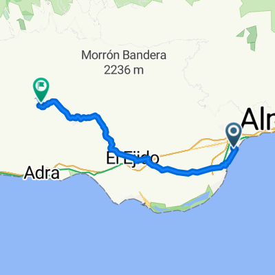
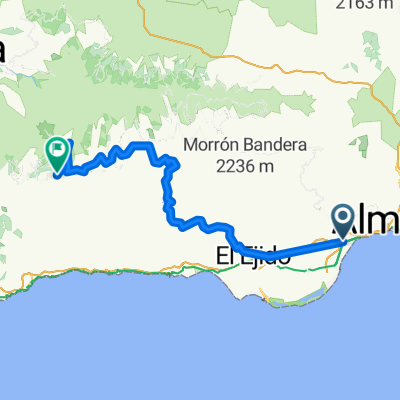
PARADOR-Felix-Chanata-La Cruz-Tartel
- 84.2 km
- 1,762 m
- 1,758 m
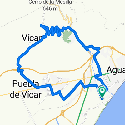
- Aguadulce, Andalusia, Spain
A cycling route starting in Aguadulce, Andalusia, Spain.
Overview
created this 15 years ago
Route highlights
Reagrupamiento en la Fuente de FELIX
cruce de la rambla y... a subir!
cota: 1000m (este es el punto más alto de la ruta)
Fuente TARTEL
Continue with Bikemap
You would like to ride AGUADULCE-FELIX-TARTEL or customize it for your own trip? Here is what you can do with this Bikemap route:
Free trial for 3 days, or one-time payment. More about Bikemap Premium.
Discover more Premium features.
Get Bikemap PremiumFrom our community
Open it in the app