
southport
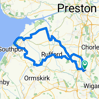
- 72.5 km
- 135 m
- 133 m
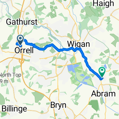
- Shevington, England, United Kingdom
A cycling route starting in Shevington, England, United Kingdom.
Overview
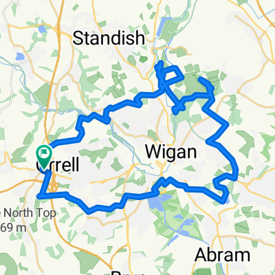
Ride From Standish to Lesley & John's
created this 6 years ago
Route quality
Cycleway
4.6 km
(16 %)
Quiet road
3.2 km
(11 %)
Paved
11.5 km
(40 %)
Asphalt
11.2 km
(39 %)
Paved (undefined)
0.3 km
(1 %)
Undefined
17.2 km
(60 %)
Continue with Bikemap
You would like to ride Whiston or customize it for your own trip? Here is what you can do with this Bikemap route:
Free trial for 3 days, or one-time payment. More about Bikemap Premium.
Discover more Premium features.
Get Bikemap PremiumFrom our community
Open it in the app