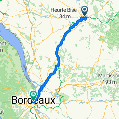
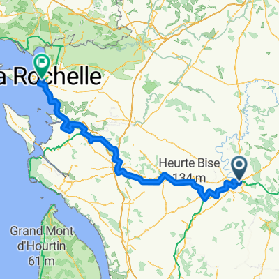
Jonction (Saint-Yrieix-sur-Charente >< Angoulême)
A cycling route starting in Gond-Pontouvre, Aquitaine-Limousin-Poitou-Charentes, France.
Overview
About this route
(Camping du Plan d'eau >< Angoulême centre - Champ de Mars)
- -:--
- Duration
- 7.3 km
- Distance
- 65 m
- Ascent
- 16 m
- Descent
- ---
- Avg. speed
- ---
- Avg. speed
Route quality
Waytypes & surfaces along the route
Waytypes
Path
4.8 km
(65 %)
Road
0.7 km
(10 %)
Surfaces
Paved
2.2 km
(31 %)
Unpaved
4.3 km
(59 %)
Gravel
3.9 km
(54 %)
Asphalt
1.9 km
(26 %)
Continue with Bikemap
Use, edit, or download this cycling route
You would like to ride Jonction (Saint-Yrieix-sur-Charente >< Angoulême) or customize it for your own trip? Here is what you can do with this Bikemap route:
Free features
- Save this route as favorite or in collections
- Copy & plan your own version of this route
- Sync your route with Garmin or Wahoo
Premium features
Free trial for 3 days, or one-time payment. More about Bikemap Premium.
- Navigate this route on iOS & Android
- Export a GPX / KML file of this route
- Create your custom printout (try it for free)
- Download this route for offline navigation
Discover more Premium features.
Get Bikemap PremiumFrom our community
Other popular routes starting in Gond-Pontouvre
- De Rue du Camping 1, Saint-Yrieix-sur-Charente à Impasse Chaussée des Moulins 3, Jarnac
- Distance
- 42 km
- Ascent
- 237 m
- Descent
- 255 m
- Location
- Gond-Pontouvre, Aquitaine-Limousin-Poitou-Charentes, France
- De Rue Alfred Leyssenot 39, Gond-Pontouvre à Rue Alfred Leyssenot 39, Gond-Pontouvre
- Distance
- 22.5 km
- Ascent
- 128 m
- Descent
- 127 m
- Location
- Gond-Pontouvre, Aquitaine-Limousin-Poitou-Charentes, France
- 268 Route de Vars, Gond-Pontouvre à 1 Rue de la Rivière, Gond-Pontouvre
- Distance
- 19.3 km
- Ascent
- 158 m
- Descent
- 156 m
- Location
- Gond-Pontouvre, Aquitaine-Limousin-Poitou-Charentes, France
- Cha-Landak 1
- Distance
- 34.5 km
- Ascent
- 101 m
- Descent
- 114 m
- Location
- Gond-Pontouvre, Aquitaine-Limousin-Poitou-Charentes, France
- 13b-Angouleme-C-Nizour
- Distance
- 19.9 km
- Ascent
- 143 m
- Descent
- 153 m
- Location
- Gond-Pontouvre, Aquitaine-Limousin-Poitou-Charentes, France
- De Rue du Camping 1, Saint-Yrieix-sur-Charente à Impasse Chaussée des Moulins 3, Jarnac
- Distance
- 33.1 km
- Ascent
- 223 m
- Descent
- 241 m
- Location
- Gond-Pontouvre, Aquitaine-Limousin-Poitou-Charentes, France
- De 325 Route de Vars, Gond-Pontouvre à 2 Rue des Courly, Balzac
- Distance
- 3.1 km
- Ascent
- 33 m
- Descent
- 7 m
- Location
- Gond-Pontouvre, Aquitaine-Limousin-Poitou-Charentes, France
- De Rue du Camping 1, Saint-Yrieix-sur-Charente à Allée des Platanes 1, Bourg-Charente
- Distance
- 38.2 km
- Ascent
- 247 m
- Descent
- 265 m
- Location
- Gond-Pontouvre, Aquitaine-Limousin-Poitou-Charentes, France
Open it in the app