Mittweidaer Straße, Claußnitz nach Carsdorfer Straße 12, Zwenkau
- 65 km
- 574 m
- 696 m
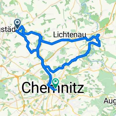
- Taura, Saxony, Germany
A cycling route starting in Taura, Saxony, Germany.
Overview
created this 6 years ago
Route quality
Road
57.6 km
(26 %)
Quiet road
44.3 km
(20 %)
Paved
155 km
(70 %)
Unpaved
8.9 km
(4 %)
Asphalt
135.1 km
(61 %)
Concrete
13.3 km
(6 %)
Continue with Bikemap
You would like to ride Mulderadweg or customize it for your own trip? Here is what you can do with this Bikemap route:
Free trial for 3 days, or one-time payment. More about Bikemap Premium.
Discover more Premium features.
Get Bikemap PremiumFrom our community
Open it in the app