

Czerwony szlak okrężny Gminy Wieliczka
A cycling route starting in Wieliczka, Lesser Poland Voivodeship, Poland.
Overview
About this route
- -:--
- Duration
- 24.5 km
- Distance
- 466 m
- Ascent
- 464 m
- Descent
- ---
- Avg. speed
- ---
- Max. altitude

Route quality
Waytypes & surfaces along the route
Waytypes
Quiet road
14.2 km
(58 %)
Road
5.6 km
(23 %)
Surfaces
Paved
9.8 km
(40 %)
Unpaved
2.7 km
(11 %)
Asphalt
9.6 km
(39 %)
Unpaved (undefined)
1 km
(4 %)
Continue with Bikemap
Use, edit, or download this cycling route
You would like to ride Czerwony szlak okrężny Gminy Wieliczka or customize it for your own trip? Here is what you can do with this Bikemap route:
Free features
- Save this route as favorite or in collections
- Copy & plan your own version of this route
- Sync your route with Garmin or Wahoo
Premium features
Free trial for 3 days, or one-time payment. More about Bikemap Premium.
- Navigate this route on iOS & Android
- Export a GPX / KML file of this route
- Create your custom printout (try it for free)
- Download this route for offline navigation
Discover more Premium features.
Get Bikemap PremiumFrom our community
Other popular routes starting in Wieliczka
 Puszcza
- Distance
- 19.9 km
- Ascent
- 97 m
- Descent
- 149 m
- Location
- Wieliczka, Lesser Poland Voivodeship, Poland
 wieliczka-kraków spokojna trasa 1
- Distance
- 13.8 km
- Ascent
- 156 m
- Descent
- 196 m
- Location
- Wieliczka, Lesser Poland Voivodeship, Poland
 Tour de Pologne 2016 Stage 5: 225 km Wieliczka - Zakopane
- Distance
- 171.9 km
- Ascent
- 2,304 m
- Descent
- 1,755 m
- Location
- Wieliczka, Lesser Poland Voivodeship, Poland
 Rowerowy Pierścień Solny
- Distance
- 91.9 km
- Ascent
- 395 m
- Descent
- 428 m
- Location
- Wieliczka, Lesser Poland Voivodeship, Poland
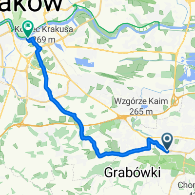
 Wieliczka, Grabówki
- Distance
- 5 km
- Ascent
- 73 m
- Descent
- 71 m
- Location
- Wieliczka, Lesser Poland Voivodeship, Poland
 Kraków-Borek
- Distance
- 55.1 km
- Ascent
- 318 m
- Descent
- 386 m
- Location
- Wieliczka, Lesser Poland Voivodeship, Poland
 Łąkowa 11B, Wieliczka do Ochmanów
- Distance
- 48.8 km
- Ascent
- 328 m
- Descent
- 307 m
- Location
- Wieliczka, Lesser Poland Voivodeship, Poland
 Brzegi, Grabie
- Distance
- 28.8 km
- Ascent
- 80 m
- Descent
- 80 m
- Location
- Wieliczka, Lesser Poland Voivodeship, Poland
Open it in the app