

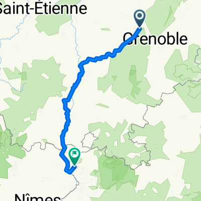
St-Quentin sur Isère - Orange
A cycling route starting in Saint-Quentin-sur-Isère, Auvergne-Rhône-Alpes, France.
Overview
About this route
Route completed and imported from Strava
- -:--
- Duration
- 243.5 km
- Distance
- 324 m
- Ascent
- 477 m
- Descent
- ---
- Avg. speed
- ---
- Max. altitude

Route quality
Waytypes & surfaces along the route
Waytypes
Quiet road
95 km
(39 %)
Cycleway
56 km
(23 %)
Surfaces
Paved
133.9 km
(55 %)
Unpaved
9.7 km
(4 %)
Asphalt
131.5 km
(54 %)
Gravel
4.9 km
(2 %)
Continue with Bikemap
Use, edit, or download this cycling route
You would like to ride St-Quentin sur Isère - Orange or customize it for your own trip? Here is what you can do with this Bikemap route:
Free features
- Save this route as favorite or in collections
- Copy & plan your own version of this route
- Split it into stages to create a multi-day tour
- Sync your route with Garmin or Wahoo
Premium features
Free trial for 3 days, or one-time payment. More about Bikemap Premium.
- Navigate this route on iOS & Android
- Export a GPX / KML file of this route
- Create your custom printout (try it for free)
- Download this route for offline navigation
Discover more Premium features.
Get Bikemap PremiumFrom our community
Other popular routes starting in Saint-Quentin-sur-Isère
 st quentin to che
- Distance
- 34.1 km
- Ascent
- 253 m
- Descent
- 143 m
- Location
- Saint-Quentin-sur-Isère, Auvergne-Rhône-Alpes, France
 Saint Quentin - Maison
- Distance
- 15.9 km
- Ascent
- 29 m
- Descent
- 17 m
- Location
- Saint-Quentin-sur-Isère, Auvergne-Rhône-Alpes, France
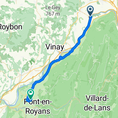
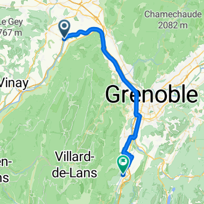
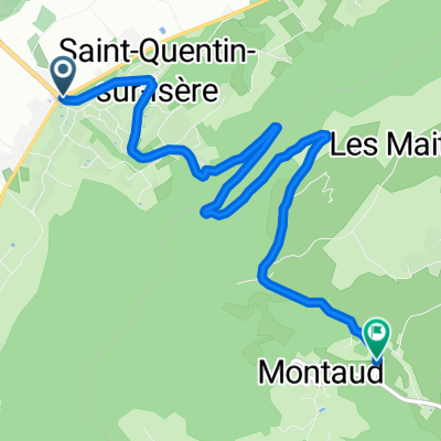 Montaud
- Distance
- 6.3 km
- Ascent
- 581 m
- Descent
- 93 m
- Location
- Saint-Quentin-sur-Isère, Auvergne-Rhône-Alpes, France
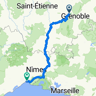 3 Grenoble -montpellier
- Distance
- 398.6 km
- Ascent
- 989 m
- Descent
- 1,169 m
- Location
- Saint-Quentin-sur-Isère, Auvergne-Rhône-Alpes, France
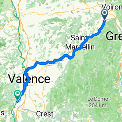 Saint-Quentin-sur-Isère - La Voulte-sur-Rhône
- Distance
- 112.3 km
- Ascent
- 669 m
- Descent
- 758 m
- Location
- Saint-Quentin-sur-Isère, Auvergne-Rhône-Alpes, France
 St-Quentin sur Isère - Orange
- Distance
- 243.5 km
- Ascent
- 324 m
- Descent
- 477 m
- Location
- Saint-Quentin-sur-Isère, Auvergne-Rhône-Alpes, France
 St Quentin sur Isère-Vif. Voies Vertes
- Distance
- 42.9 km
- Ascent
- 151 m
- Descent
- 27 m
- Location
- Saint-Quentin-sur-Isère, Auvergne-Rhône-Alpes, France
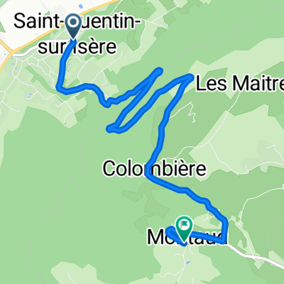 saint quention - montaud
- Distance
- 6.7 km
- Ascent
- 519 m
- Descent
- 7 m
- Location
- Saint-Quentin-sur-Isère, Auvergne-Rhône-Alpes, France
Open it in the app