2022 Floss - Eger - Franzensbad
- 67.9 km
- 809 m
- 1,064 m
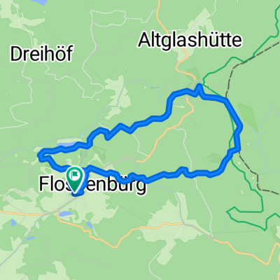
- Flossenbürg, Bavaria, Germany
A cycling route starting in Flossenbürg, Bavaria, Germany.
Overview
The entire Naab downstream - starting at the longest source of the Tirschenreuther Waldnaab to the Naab's mouth into the Danube near Regensburg
created this 6 years ago


Route quality
Quiet road
61.5 km
(35 %)
Track
54.5 km
(31 %)
Paved
114.3 km
(65 %)
Unpaved
54.5 km
(31 %)
Asphalt
110.8 km
(63 %)
Gravel
35.2 km
(20 %)
Route highlights
Quelle der Waldnaab
Bärnau
Tirschenreuth
Zusammenfluß Waldnaab - Fichtelnaab
Windischeschenbach
Neustadt
Weiden
Zusammenfluß Waldnaab-Haidenaab -> die 'echte' Naab entsteht
Kiesgrube Företh
Luhe-Wildenau
Kiesgruben Baierl
Kiesgruben Weich / Grünau
Kiesgrube Streuguthalle
Wernberg-Köblitz
Pfreimd
Nabburg
Schwarzenfeld
Schwandorf
Teublitz
Burglengenfeld

Blick von der Burg ins Naabtal
Kallmünz

Pielenhofen, Blick aufs Kloster
Etterzhausen
Regensburg
Continue with Bikemap
You would like to ride Komplette Naab inkl. Waldnaab or customize it for your own trip? Here is what you can do with this Bikemap route:
Free trial for 3 days, or one-time payment. More about Bikemap Premium.
Discover more Premium features.
Get Bikemap PremiumFrom our community
Open it in the app