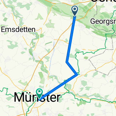
TecklenburgTest
A cycling route starting in Tecklenburg, North Rhine-Westphalia, Germany.
Overview
About this route
- -:--
- Duration
- 70.1 km
- Distance
- 757 m
- Ascent
- 757 m
- Descent
- ---
- Avg. speed
- ---
- Max. altitude
Route quality
Waytypes & surfaces along the route
Waytypes
Quiet road
23.1 km
(33 %)
Road
15.4 km
(22 %)
Surfaces
Paved
45.6 km
(65 %)
Unpaved
4.2 km
(6 %)
Asphalt
40 km
(57 %)
Paved (undefined)
5.6 km
(8 %)
Continue with Bikemap
Use, edit, or download this cycling route
You would like to ride TecklenburgTest or customize it for your own trip? Here is what you can do with this Bikemap route:
Free features
- Save this route as favorite or in collections
- Copy & plan your own version of this route
- Sync your route with Garmin or Wahoo
Premium features
Free trial for 3 days, or one-time payment. More about Bikemap Premium.
- Navigate this route on iOS & Android
- Export a GPX / KML file of this route
- Create your custom printout (try it for free)
- Download this route for offline navigation
Discover more Premium features.
Get Bikemap PremiumFrom our community
Other popular routes starting in Tecklenburg
TecklenburgTest- Distance
- 70.1 km
- Ascent
- 757 m
- Descent
- 757 m
- Location
- Tecklenburg, North Rhine-Westphalia, Germany
Tour 2010 Varianten Freibad Te- Distance
- 10.9 km
- Ascent
- 216 m
- Descent
- 183 m
- Location
- Tecklenburg, North Rhine-Westphalia, Germany
TECKLENBURG-MALEPARTUS- Distance
- 38 km
- Ascent
- 356 m
- Descent
- 442 m
- Location
- Tecklenburg, North Rhine-Westphalia, Germany
Teuto + Malepartus- Distance
- 62.5 km
- Ascent
- 697 m
- Descent
- 700 m
- Location
- Tecklenburg, North Rhine-Westphalia, Germany
MTB Tecklenburg Habitat- Distance
- 17.5 km
- Ascent
- 329 m
- Descent
- 329 m
- Location
- Tecklenburg, North Rhine-Westphalia, Germany
Teuto 3- Distance
- 81.1 km
- Ascent
- 1,019 m
- Descent
- 1,019 m
- Location
- Tecklenburg, North Rhine-Westphalia, Germany
tecklenburgertour- Distance
- 28.5 km
- Ascent
- 472 m
- Descent
- 470 m
- Location
- Tecklenburg, North Rhine-Westphalia, Germany
Servatiiplatz nach Pagenstraße- Distance
- 37.3 km
- Ascent
- 13 m
- Descent
- 128 m
- Location
- Tecklenburg, North Rhine-Westphalia, Germany
Open it in the app

