
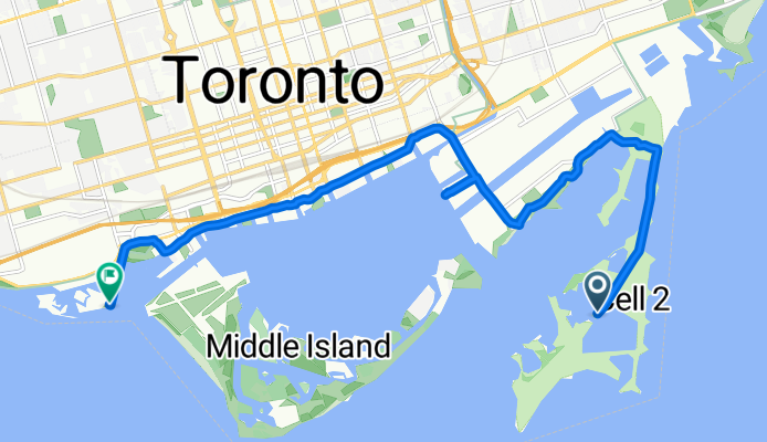
Cabana
A cycling route starting in Toronto, Ontario, Canada.
Overview
About this route
- 1 h 31 min
- Duration
- 13.1 km
- Distance
- 91 m
- Ascent
- 93 m
- Descent
- 8.6 km/h
- Avg. speed
- ---
- Max. altitude

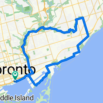
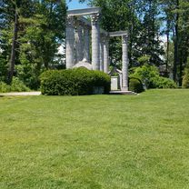
Route photos

Continue with Bikemap
Use, edit, or download this cycling route
You would like to ride Cabana or customize it for your own trip? Here is what you can do with this Bikemap route:
Free features
- Save this route as favorite or in collections
- Copy & plan your own version of this route
- Sync your route with Garmin or Wahoo
Premium features
Free trial for 3 days, or one-time payment. More about Bikemap Premium.
- Navigate this route on iOS & Android
- Export a GPX / KML file of this route
- Create your custom printout (try it for free)
- Download this route for offline navigation
Discover more Premium features.
Get Bikemap PremiumFrom our community
Other popular routes starting in Toronto
 -Short Steep climbs & fast descents in the Beach
- Distance
- 5.2 km
- Ascent
- 98 m
- Descent
- 108 m
- Location
- Toronto, Ontario, Canada
 Cedarvale Park
- Distance
- 5.9 km
- Ascent
- 39 m
- Descent
- 39 m
- Location
- Toronto, Ontario, Canada
 Lighthouse Loop, Toronto
- Distance
- 6.5 km
- Ascent
- 34 m
- Descent
- 4 m
- Location
- Toronto, Ontario, Canada
 Lengthy bike tour through Toronto
- Distance
- 36.1 km
- Ascent
- 124 m
- Descent
- 123 m
- Location
- Toronto, Ontario, Canada
 1 Waterfront Trail, Toronto to 2075 Queen St E, Toronto
- Distance
- 4.3 km
- Ascent
- 3 m
- Descent
- 3 m
- Location
- Toronto, Ontario, Canada
 2020-05-20 Morning round DT Toronto
- Distance
- 34.9 km
- Ascent
- 168 m
- Descent
- 165 m
- Location
- Toronto, Ontario, Canada
 Gerrard Street East 257, Toronto to Waterfront Trail
- Distance
- 33.8 km
- Ascent
- 250 m
- Descent
- 265 m
- Location
- Toronto, Ontario, Canada
 Cabana
- Distance
- 13.1 km
- Ascent
- 91 m
- Descent
- 93 m
- Location
- Toronto, Ontario, Canada
Open it in the app