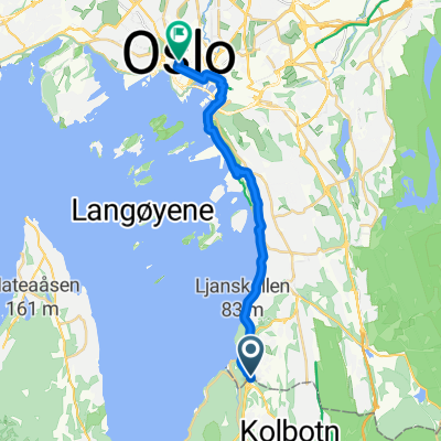
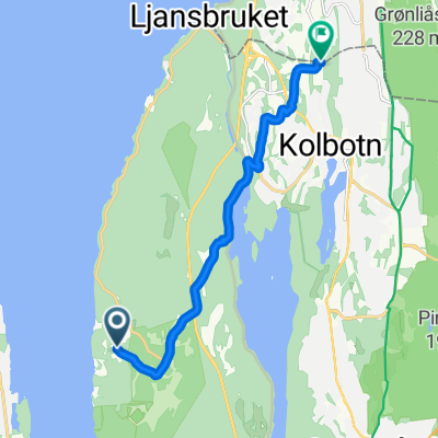
- 8.4 km
- 194 m
- 103 m
- Kolbotn, Akershus, Norway
Oslo-Bergen July 2019
A cycling route starting in Kolbotn, Akershus, Norway.Route by and large follows national bicycle route 4 (Rallarvegen). Some deviations, sometimes following a dust road that is not on the map. The section between Myrdal and Upsete was travelled by train. This route shows it as a track, but that is an artefact of merging the sections. I used 8 days with luggage and a tent.
A very beautiful long trip. Certainly the Rallarvegen part between Haugestøl and Myrdal, but also the track along Hallingdalselva and from Upsete to Voss, and Evanger-Bergen. Unfortunately, the busy national road cannot be avoided on some minor parts: Geilo-Haugastøl and Voss-Evanger. In Vaksdal we followed old tunnels with very coarse gravel / stones cover (no traffic at all).
- -:--
- Duration
- 598.3 km
- Distance
- 2,573 m
- Ascent
- 2,664 m
- Descent
- ---
- Avg. speed
- ---
- Max. altitude
Cycleway
161.6 km27 %Quiet road
119.7 km20 %
Paved
353 km(59 %)Unpaved
137.6 km(23 %)Asphalt
341.1 km57 %Gravel
113.7 km19 %
- Save this route as favorite or in collections
- Copy & plan your own version of this route
- Split it into stages to create a multi-day tour
- Sync your route with Garmin or Wahoo
Free trial for 3 days, or one-time payment. More about Bikemap Premium.
- Navigate this route on iOS & Android
- Export a GPX / KML file of this route
- Create your custom printout (try it for free)
- Download this route for offline navigation
Discover more Premium features.
Get Bikemap Premium- Kolbotn - Oslo
- Ăstmarka 100K
- 111.6 km
- 1,996 m
- 1,914 m
- Kolbotn, Akershus, Norway
- From TrollĂĽsen to Oslo
- 13.6 km
- 231 m
- 269 m
- Kolbotn, Akershus, Norway
- Roald Amundsens vei, Svartskog to Søndre Nordstrand, Oslo
- 8 km
- 154 m
- 154 m
- Kolbotn, Akershus, Norway
- Folloringen
- 90.3 km
- 698 m
- 686 m
- Kolbotn, Akershus, Norway
- Einfahrt Oslo 2
- 15.5 km
- 185 m
- 156 m
- Kolbotn, Akershus, Norway
- Smedveien, Oslo to Smedveien, Oslo
- 8.6 km
- 428 m
- 421 m
- Kolbotn, Akershus, Norway
- Nokle Elvaga round
- 42.3 km
- 550 m
- 551 m
- Kolbotn, Akershus, Norway
Open it in the app


