
L'Isle mollendruz L'Isle
- 19.2 km
- 507 m
- 507 m
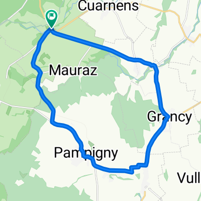
- Mauraz, Canton of Vaud, Switzerland
A cycling route starting in Mauraz, Canton of Vaud, Switzerland.
Overview
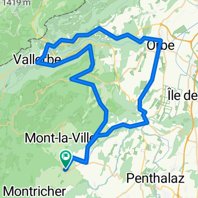
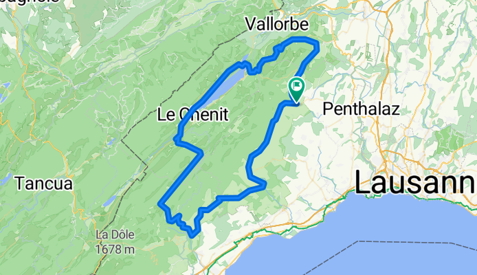
L'Isle - Biere - Le Brassus - Vaulion - L'Isle
created this 6 years ago
Route quality
Road
37.8 km
(40 %)
Quiet road
34.1 km
(36 %)
Paved
74.7 km
(79 %)
Asphalt
71 km
(75 %)
Paved (undefined)
2.8 km
(3 %)
Continue with Bikemap
You would like to ride Boucle L'Isle- Bière - Le Brassus -Vaulion or customize it for your own trip? Here is what you can do with this Bikemap route:
Free trial for 3 days, or one-time payment. More about Bikemap Premium.
Discover more Premium features.
Get Bikemap PremiumFrom our community
Open it in the app