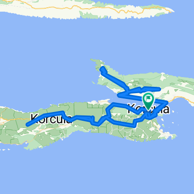
Ulica kanonika Antuna Rozanovića, Korčula to Ulica 35, Vela Luka
- 44.8 km
- 1,076 m
- 1,062 m
- Korčula, Dubrovnik-Neretva County, Croatia
A cycling route starting in Korčula, Dubrovnik-Neretva County, Croatia.
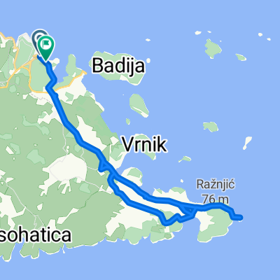
Overview
created this 6 years ago
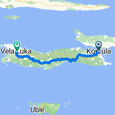
Route quality
Road
30.5 km
(66 %)
Access road
3.7 km
(8 %)
Paved
18 km
(39 %)
Asphalt
15.2 km
(33 %)
Paved (undefined)
2.8 km
(6 %)
Undefined
28.2 km
(61 %)
Continue with Bikemap
You would like to ride Vela Luka or customize it for your own trip? Here is what you can do with this Bikemap route:
Free trial for 3 days, or one-time payment. More about Bikemap Premium.
Discover more Premium features.
Get Bikemap PremiumFrom our community
Open it in the app