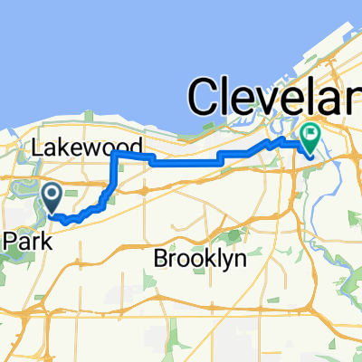
Home to Kent
- 192.2 km
- 565 m
- 565 m
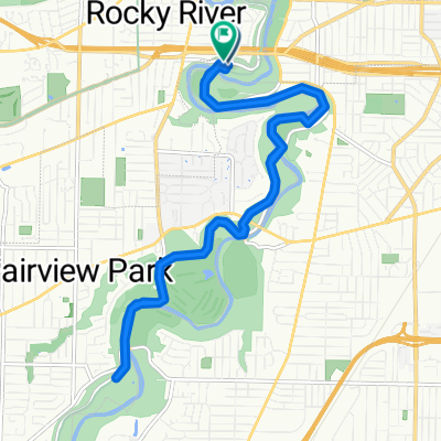
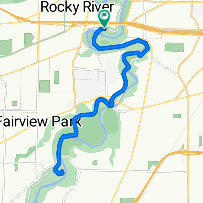
- Rocky River, Ohio, United States
A cycling route starting in Rocky River, Ohio, United States.
Overview
If Meth the mortician, you know the shovel is on me To put 'em to earth, I do my dirt all by lonely.
created this 6 years ago
Route quality
Road
8.1 km
(84 %)
Quiet road
1.3 km
(13 %)
Undefined
0.3 km
(3 %)
Paved
3.1 km
(32 %)
Asphalt
3 km
(31 %)
Concrete
0.1 km
(1 %)
Undefined
6.5 km
(68 %)
Continue with Bikemap
You would like to ride Method Man or customize it for your own trip? Here is what you can do with this Bikemap route:
Free trial for 3 days, or one-time payment. More about Bikemap Premium.
Discover more Premium features.
Get Bikemap PremiumFrom our community
Open it in the app