

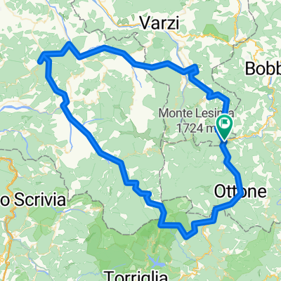
Tour Monte Chiappo
A cycling route starting in Zerba, Emilia-Romagna, Italy.
Overview
About this route
- -:--
- Duration
- 23.1 km
- Distance
- 824 m
- Ascent
- 1,165 m
- Descent
- ---
- Avg. speed
- ---
- Max. altitude

Route quality
Waytypes & surfaces along the route
Waytypes
Track
9.2 km
(40 %)
Path
5.8 km
(25 %)
Surfaces
Paved
0.9 km
(4 %)
Unpaved
9.7 km
(42 %)
Ground
6.2 km
(27 %)
Gravel
3.5 km
(15 %)
Continue with Bikemap
Use, edit, or download this cycling route
You would like to ride Tour Monte Chiappo or customize it for your own trip? Here is what you can do with this Bikemap route:
Free features
- Save this route as favorite or in collections
- Copy & plan your own version of this route
- Sync your route with Garmin or Wahoo
Premium features
Free trial for 3 days, or one-time payment. More about Bikemap Premium.
- Navigate this route on iOS & Android
- Export a GPX / KML file of this route
- Create your custom printout (try it for free)
- Download this route for offline navigation
Discover more Premium features.
Get Bikemap PremiumFrom our community
Other popular routes starting in Zerba
 Giro del Postino
- Distance
- 14.8 km
- Ascent
- 853 m
- Descent
- 856 m
- Location
- Zerba, Emilia-Romagna, Italy
 Val Boreca - Alfeo
- Distance
- 13.8 km
- Ascent
- 938 m
- Descent
- 941 m
- Location
- Zerba, Emilia-Romagna, Italy
 SALE_GIORNO_02
- Distance
- 22.2 km
- Ascent
- 715 m
- Descent
- 1,413 m
- Location
- Zerba, Emilia-Romagna, Italy
 garbagna
- Distance
- 118.6 km
- Ascent
- 2,203 m
- Descent
- 2,203 m
- Location
- Zerba, Emilia-Romagna, Italy
 AVP Bike
- Distance
- 63 km
- Ascent
- 1,781 m
- Descent
- 1,672 m
- Location
- Zerba, Emilia-Romagna, Italy
 ottone lesima piani del lesima ottone
- Distance
- 70.7 km
- Ascent
- 1,741 m
- Descent
- 1,741 m
- Location
- Zerba, Emilia-Romagna, Italy
 Da Cima Monte Chiappo, Santa Margherita di Staffora a Strada Provinciale 48, Santa Margherita di Staffora
- Distance
- 23 km
- Ascent
- 932 m
- Descent
- 1,274 m
- Location
- Zerba, Emilia-Romagna, Italy
 Zerba - Lesima
- Distance
- 4.4 km
- Ascent
- 590 m
- Descent
- 235 m
- Location
- Zerba, Emilia-Romagna, Italy
Open it in the app