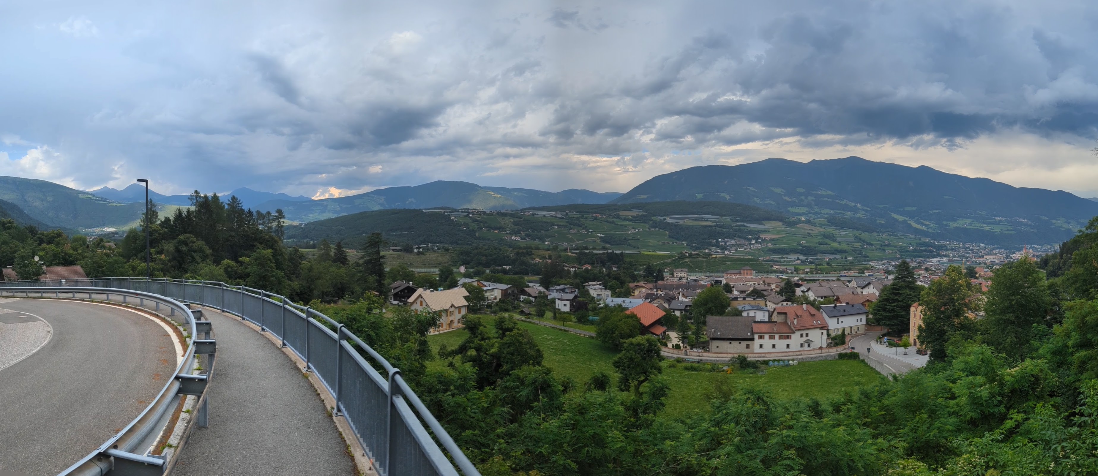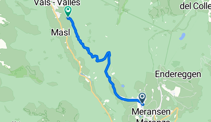
8 - da geit meh man
- 104.5 km
- 1,837 m
- 1,993 m
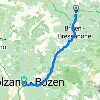
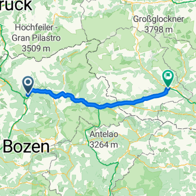
- Mühlbach, Trentino-Alto Adige, Italy
A cycling route starting in Mühlbach, Trentino-Alto Adige, Italy.
Overview
created this 6 years ago


Continue with Bikemap
You would like to ride Leitensteig. NICHT fürs MTB!! or customize it for your own trip? Here is what you can do with this Bikemap route:
Free trial for 3 days, or one-time payment. More about Bikemap Premium.
Discover more Premium features.
Get Bikemap PremiumFrom our community
Open it in the app