

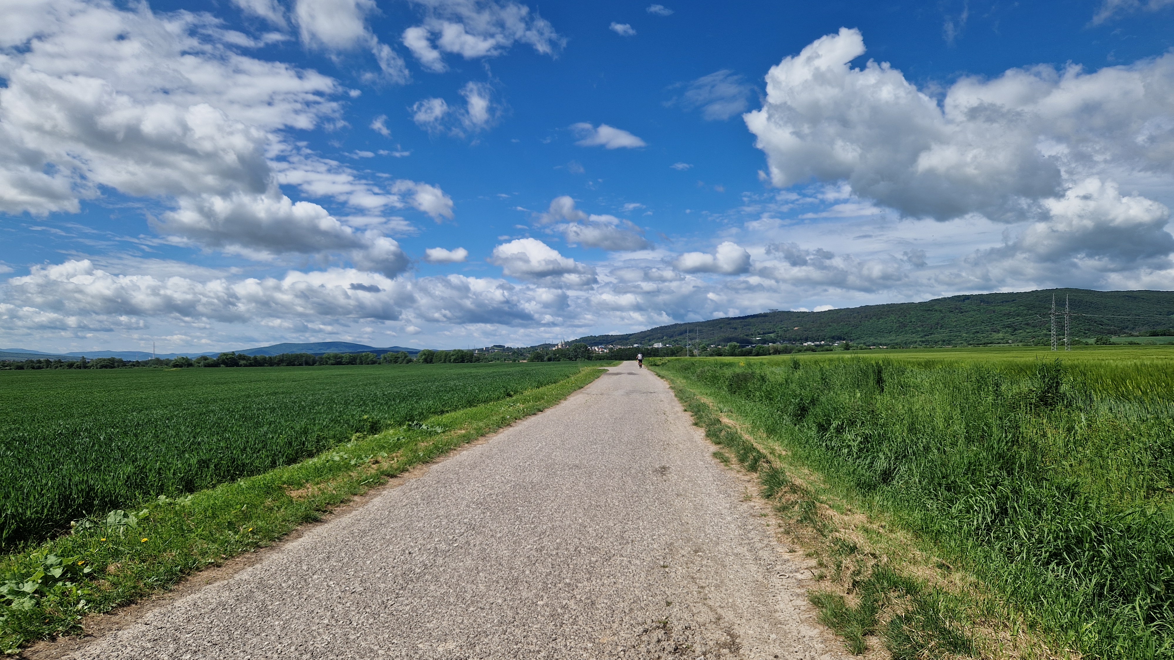
Vysehrad-Tuzina-Cicermanske-Val.Bela-Cavoj-Chvojnica
A cycling route starting in Prievidza, Nitra Region, Slovakia.
Overview
About this route
Vyšehrad - Tužina - Čičermanské s. - Gápel - Val. Belá - Čavoj - Obšíar - Chvojnica - Poruba - Lazany - Kúty
- -:--
- Duration
- 87.9 km
- Distance
- 1,456 m
- Ascent
- 1,453 m
- Descent
- ---
- Avg. speed
- ---
- Max. altitude

Route quality
Waytypes & surfaces along the route
Waytypes
Track
46.6 km
(53 %)
Road
17.6 km
(20 %)
Surfaces
Paved
33.4 km
(38 %)
Unpaved
20.2 km
(23 %)
Asphalt
27.3 km
(31 %)
Gravel
10.5 km
(12 %)
Continue with Bikemap
Use, edit, or download this cycling route
You would like to ride Vysehrad-Tuzina-Cicermanske-Val.Bela-Cavoj-Chvojnica or customize it for your own trip? Here is what you can do with this Bikemap route:
Free features
- Save this route as favorite or in collections
- Copy & plan your own version of this route
- Split it into stages to create a multi-day tour
- Sync your route with Garmin or Wahoo
Premium features
Free trial for 3 days, or one-time payment. More about Bikemap Premium.
- Navigate this route on iOS & Android
- Export a GPX / KML file of this route
- Create your custom printout (try it for free)
- Download this route for offline navigation
Discover more Premium features.
Get Bikemap PremiumFrom our community
Other popular routes starting in Prievidza
 Popod okolite hory
- Distance
- 45.5 km
- Ascent
- 522 m
- Descent
- 522 m
- Location
- Prievidza, Nitra Region, Slovakia
 Pd-Kanianka-Poruba-Chvojnica-Malinová-Lazany-Pd
- Distance
- 33.4 km
- Ascent
- 365 m
- Descent
- 366 m
- Location
- Prievidza, Nitra Region, Slovakia
 Vysehrad-Tuzina-Cicermanske-Val.Bela-Cavoj-Chvojnica
- Distance
- 87.9 km
- Ascent
- 1,456 m
- Descent
- 1,453 m
- Location
- Prievidza, Nitra Region, Slovakia
 2, Bojnice do Kúty 972 01, Bojnice
- Distance
- 48 km
- Ascent
- 1,238 m
- Descent
- 1,240 m
- Location
- Prievidza, Nitra Region, Slovakia
 Prievidza - Nitra
- Distance
- 88.5 km
- Ascent
- 268 m
- Descent
- 397 m
- Location
- Prievidza, Nitra Region, Slovakia
 2, Bojnice do 2, Bojnice
- Distance
- 55.3 km
- Ascent
- 314 m
- Descent
- 938 m
- Location
- Prievidza, Nitra Region, Slovakia
 Rysia cez les
- Distance
- 83.4 km
- Ascent
- 1,415 m
- Descent
- 1,413 m
- Location
- Prievidza, Nitra Region, Slovakia
 Cicermanske_&_Obsiar
- Distance
- 47.9 km
- Ascent
- 784 m
- Descent
- 628 m
- Location
- Prievidza, Nitra Region, Slovakia
Open it in the app