

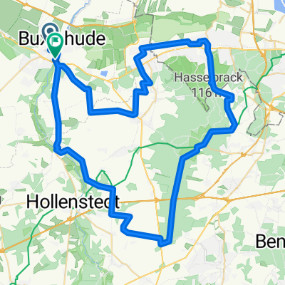
Büsenbachtal_2019
A cycling route starting in Buxtehude, Lower Saxony, Germany.
Overview
About this route
Tour as part of the cycling tour programme TSV Buxtehude-Altkloster on 18 August 2019
- -:--
- Duration
- 72.9 km
- Distance
- 245 m
- Ascent
- 245 m
- Descent
- ---
- Avg. speed
- ---
- Max. altitude

Route quality
Waytypes & surfaces along the route
Waytypes
Quiet road
19 km
(26 %)
Track
18.2 km
(25 %)
Surfaces
Paved
45.2 km
(62 %)
Unpaved
13.1 km
(18 %)
Asphalt
40.1 km
(55 %)
Gravel
8.8 km
(12 %)
Continue with Bikemap
Use, edit, or download this cycling route
You would like to ride Büsenbachtal_2019 or customize it for your own trip? Here is what you can do with this Bikemap route:
Free features
- Save this route as favorite or in collections
- Copy & plan your own version of this route
- Sync your route with Garmin or Wahoo
Premium features
Free trial for 3 days, or one-time payment. More about Bikemap Premium.
- Navigate this route on iOS & Android
- Export a GPX / KML file of this route
- Create your custom printout (try it for free)
- Download this route for offline navigation
Discover more Premium features.
Get Bikemap PremiumFrom our community
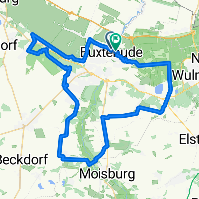
Other popular routes starting in Buxtehude
 Heidenauer Hochzeitswald
- Distance
- 54.1 km
- Ascent
- 158 m
- Descent
- 158 m
- Location
- Buxtehude, Lower Saxony, Germany
 Buxtehude - Stade - Altes Land
- Distance
- 80.7 km
- Ascent
- 92 m
- Descent
- 92 m
- Location
- Buxtehude, Lower Saxony, Germany
 Büsenbachtal_2019
- Distance
- 72.9 km
- Ascent
- 245 m
- Descent
- 245 m
- Location
- Buxtehude, Lower Saxony, Germany
 Steinroute
- Distance
- 58.9 km
- Ascent
- 138 m
- Descent
- 136 m
- Location
- Buxtehude, Lower Saxony, Germany
 Has und Igel RTF 150 km
- Distance
- 150.1 km
- Ascent
- 161 m
- Descent
- 162 m
- Location
- Buxtehude, Lower Saxony, Germany
 Hochwildpark Schwarze Berge
- Distance
- 63.2 km
- Ascent
- 255 m
- Descent
- 255 m
- Location
- Buxtehude, Lower Saxony, Germany
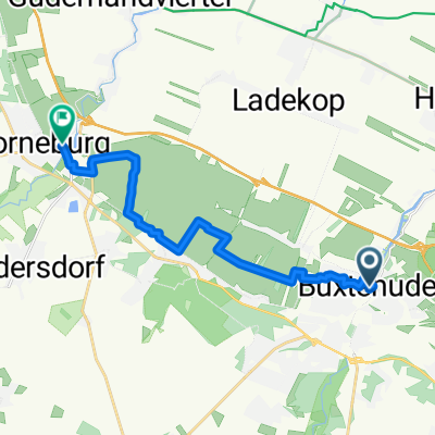 Pilger-Radrundtour Sankt-Petri-Kirche - Liebfrauenkirche Horneburg
- Distance
- 13 km
- Ascent
- 23 m
- Descent
- 27 m
- Location
- Buxtehude, Lower Saxony, Germany
 Has' und Igelroute: Altes Land am Elbstrom Radtour
- Distance
- 37.9 km
- Ascent
- 182 m
- Descent
- 182 m
- Location
- Buxtehude, Lower Saxony, Germany
Open it in the app