

Margo - Ste-Claire
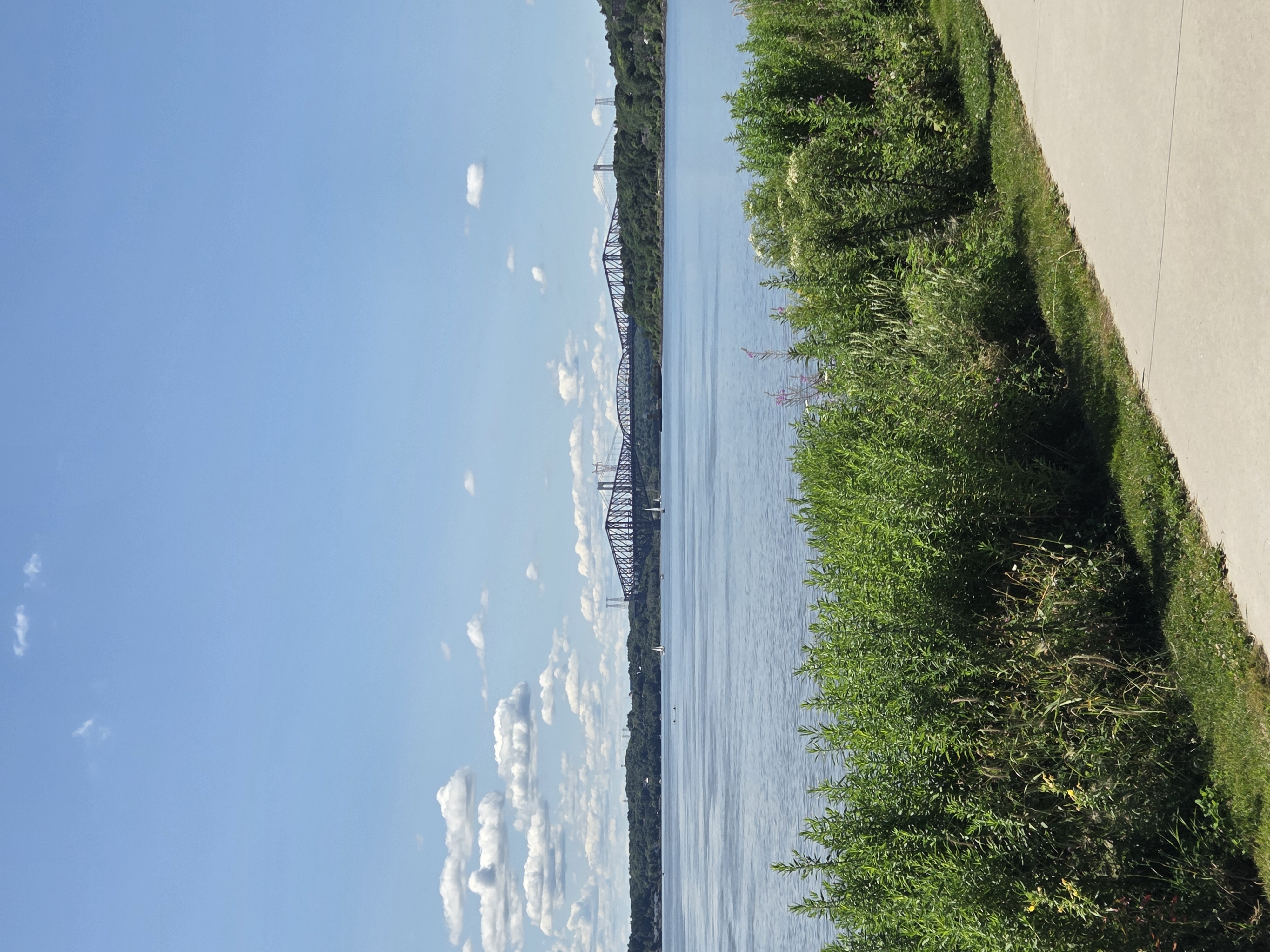
A cycling route starting in Lévis, Quebec, Canada.
Overview
About this route
- -:--
- Duration
- 38.6 km
- Distance
- 202 m
- Ascent
- 72 m
- Descent
- ---
- Avg. speed
- ---
- Max. altitude

Route quality
Waytypes & surfaces along the route
Waytypes
Cycleway
29.4 km
(76 %)
Road
8.1 km
(21 %)
Surfaces
Paved
31.7 km
(82 %)
Asphalt
19.7 km
(51 %)
Paved (undefined)
12 km
(31 %)
Undefined
7 km
(18 %)
Continue with Bikemap
Use, edit, or download this cycling route
You would like to ride Margo - Ste-Claire or customize it for your own trip? Here is what you can do with this Bikemap route:
Free features
- Save this route as favorite or in collections
- Copy & plan your own version of this route
- Sync your route with Garmin or Wahoo
Premium features
Free trial for 3 days, or one-time payment. More about Bikemap Premium.
- Navigate this route on iOS & Android
- Export a GPX / KML file of this route
- Create your custom printout (try it for free)
- Download this route for offline navigation
Discover more Premium features.
Get Bikemap PremiumFrom our community
Other popular routes starting in Lévis
 De Boulevard Guillaume-Couture à Boulevard Guillaume-Couture
- Distance
- 63.6 km
- Ascent
- 348 m
- Descent
- 312 m
- Location
- Lévis, Quebec, Canada
 Première sortie 24 mai
- Distance
- 45.9 km
- Ascent
- 166 m
- Descent
- 166 m
- Location
- Lévis, Quebec, Canada
 Lévis : Parcours des anses + Parc de la Rivière-Etchemin ( aller- retour )
- Distance
- 45.5 km
- Ascent
- 299 m
- Descent
- 299 m
- Location
- Lévis, Quebec, Canada
 De Rue Pie X 641, Lévis à 8e Av 1235, Lévis
- Distance
- 18.6 km
- Ascent
- 231 m
- Descent
- 237 m
- Location
- Lévis, Quebec, Canada
 Le tour de l'Île
- Distance
- 66.6 km
- Ascent
- 342 m
- Descent
- 342 m
- Location
- Lévis, Quebec, Canada
 Traverse/Etchemin/Champlain
- Distance
- 36.3 km
- Ascent
- 188 m
- Descent
- 188 m
- Location
- Lévis, Quebec, Canada
 demi tour Ike D'Orléans avec Erika
- Distance
- 17.7 km
- Ascent
- 51 m
- Descent
- 61 m
- Location
- Lévis, Quebec, Canada
 Boucle défi Pierre Lavoie 2018
- Distance
- 136.2 km
- Ascent
- 367 m
- Descent
- 360 m
- Location
- Lévis, Quebec, Canada
Open it in the app