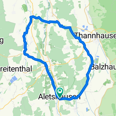
Mindeltalradweg - Lkr. GZ
- 45.1 km
- 11 m
- 91 m
- Aletshausen, Bavaria, Germany
Track
23.9 km53 %Quiet road
9.5 km21 %Paved
21.2 km(47 %)Unpaved
20.8 km(46 %)Gravel
18 km40 %Asphalt
11.3 km25 %Free trial for 3 days, or one-time payment. More about Bikemap Premium.
Discover more Premium features.
Get Bikemap PremiumOpen it in the app