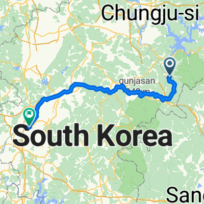
이화령로, 문경시에서 불정동, 문경시까지
- 22.1 km
- 64 m
- 492 m
- Mungyeong, Gyeongsangbuk-do, South Korea
A cycling route starting in Mungyeong, Gyeongsangbuk-do, South Korea.
Overview
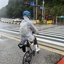
Ewha Pass uphill course_New updated
created this 6 years ago
Route quality
Road
4.9 km
(100 %)
Paved
4.9 km
(100 %)
Asphalt
4.9 km
(100 %)
Continue with Bikemap
You would like to ride Ewha Pass uphill course_New updated or customize it for your own trip? Here is what you can do with this Bikemap route:
Free trial for 3 days, or one-time payment. More about Bikemap Premium.
Discover more Premium features.
Get Bikemap PremiumFrom our community
Open it in the app