

Rund um den Guffert
A cycling route starting in Achenkirch, Tyrol, Austria.
Overview
About this route
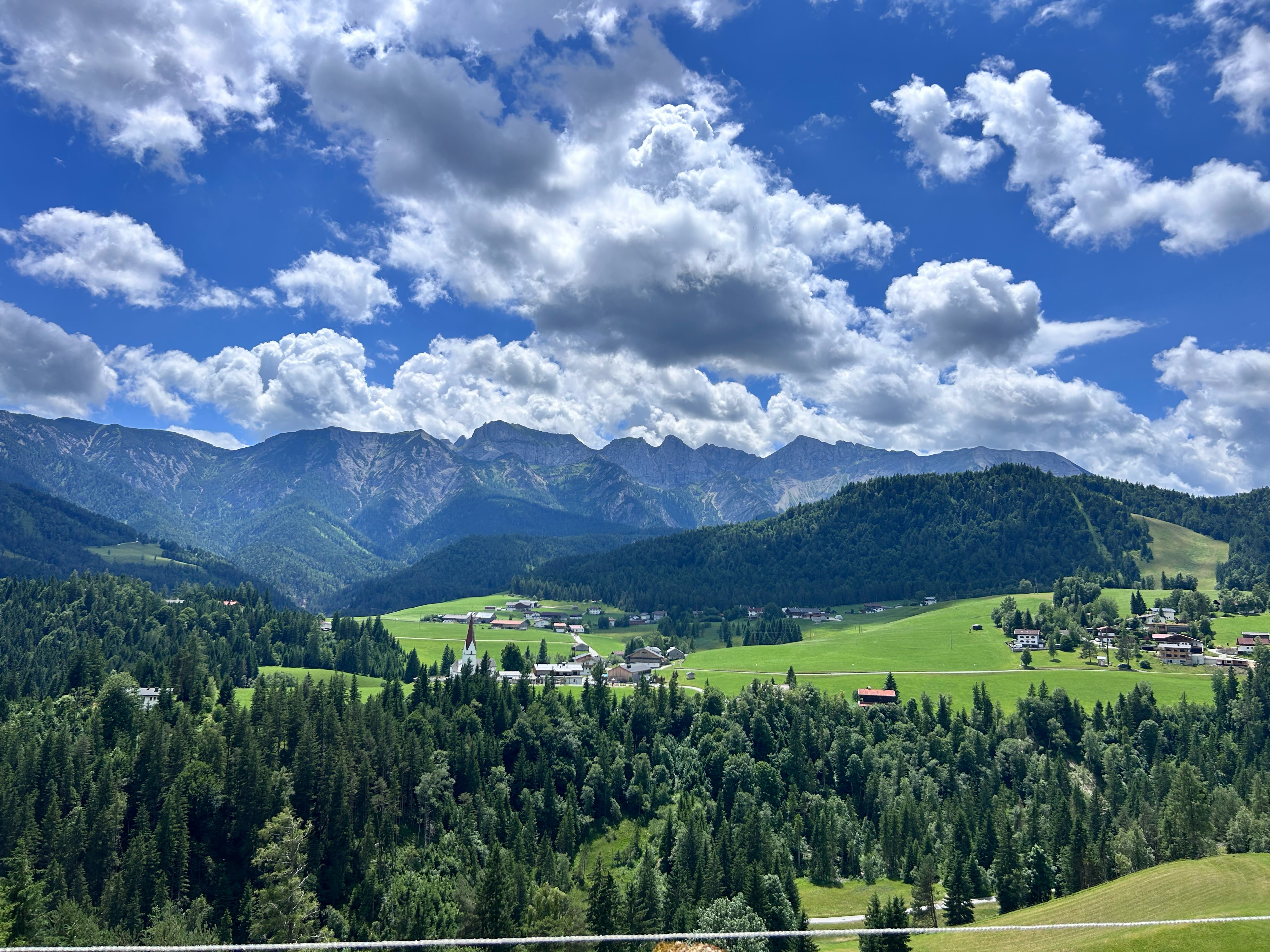
Start am Parkplatz zw. Achenkirch und Steinberg Richtung Gufferthütte (max. 12% Steigung auf Schotterstraße), an Gufferthütte nach rechts stets bergab. Im Tal nach der Brücke rechts bis zum Kaiserhaus, gute Küche. Dann weiter auf der Teerstraße und nach einem Anstieg scharf rechts nach Steinberg auf Teer- Schotter- Teerstraße. In Steinberg wieder rechts zum Parkplatz. Lanschaftlich sehr schöne Mountainbike- Tour auf breiten einfachen Wegen. Länge ca. 41km, Höhenmeter ca. 1100m. Viel Spaß
- -:--
- Duration
- 39.2 km
- Distance
- 1,089 m
- Ascent
- 1,038 m
- Descent
- ---
- Avg. speed
- 1,432 m
- Avg. speed
Route quality
Waytypes & surfaces along the route
Waytypes
Track
15.2 km
(39 %)
Quiet road
14.2 km
(36 %)
Surfaces
Paved
10.2 km
(26 %)
Unpaved
22.1 km
(56 %)
Gravel
16.4 km
(42 %)
Asphalt
10.1 km
(26 %)
Continue with Bikemap
Use, edit, or download this cycling route
You would like to ride Rund um den Guffert or customize it for your own trip? Here is what you can do with this Bikemap route:
Free features
- Save this route as favorite or in collections
- Copy & plan your own version of this route
- Sync your route with Garmin or Wahoo
Premium features
Free trial for 3 days, or one-time payment. More about Bikemap Premium.
- Navigate this route on iOS & Android
- Export a GPX / KML file of this route
- Create your custom printout (try it for free)
- Download this route for offline navigation
Discover more Premium features.
Get Bikemap PremiumFrom our community
Other popular routes starting in Achenkirch
 Unnütz - Guffertrunde
- Distance
- 71.2 km
- Ascent
- 1,726 m
- Descent
- 1,726 m
- Location
- Achenkirch, Tyrol, Austria
 große Steinbergrunde
- Distance
- 22.9 km
- Ascent
- 606 m
- Descent
- 558 m
- Location
- Achenkirch, Tyrol, Austria
 Seewaldhütte
- Distance
- 10.9 km
- Ascent
- 507 m
- Descent
- 505 m
- Location
- Achenkirch, Tyrol, Austria
 Guffert
- Distance
- 47.8 km
- Ascent
- 1,149 m
- Descent
- 1,149 m
- Location
- Achenkirch, Tyrol, Austria
 Achensee Radmarathon
- Distance
- 171.3 km
- Ascent
- 1,100 m
- Descent
- 1,107 m
- Location
- Achenkirch, Tyrol, Austria
 Karwendelrunde
- Distance
- 122.4 km
- Ascent
- 3,979 m
- Descent
- 3,979 m
- Location
- Achenkirch, Tyrol, Austria
 Walchensee
- Distance
- 47.3 km
- Ascent
- 611 m
- Descent
- 689 m
- Location
- Achenkirch, Tyrol, Austria
 Achenseestraße, Achenkirch nach Achenseestraße, Achenkirch
- Distance
- 49.2 km
- Ascent
- 1,323 m
- Descent
- 1,320 m
- Location
- Achenkirch, Tyrol, Austria
Open it in the app