

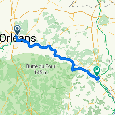
Orléans-Toulouse par Valençay-Bellac-Fumel-Moissac - 630 km réels
A cycling route starting in Fleury-les-Aubrais, Centre-Val de Loire, France.
Overview
About this route
1
Bikemap takes detours via bike lanes, but the distance is reduced?!
- -:--
- Duration
- 639.4 km
- Distance
- 1,135 m
- Ascent
- 1,111 m
- Descent
- ---
- Avg. speed
- ---
- Max. altitude
vaux.cernay
created this 6 years ago
Route quality
Waytypes & surfaces along the route
Waytypes
Road
243 km
38 %
Quiet road
230.2 km
36 %
Surfaces
Paved
294.1 km
(46 %)
Unpaved
19.2 km
(3 %)
Asphalt
294.1 km
46 %
Gravel
12.8 km
2 %
Continue with Bikemap
Use, edit, or download this cycling route
You would like to ride Orléans-Toulouse par Valençay-Bellac-Fumel-Moissac - 630 km réels or customize it for your own trip? Here is what you can do with this Bikemap route:
Free features
- Save this route as favorite or in collections
- Copy & plan your own version of this route
- Split it into stages to create a multi-day tour
- Sync your route with Garmin or Wahoo
Premium features
Free trial for 3 days, or one-time payment. More about Bikemap Premium.
- Navigate this route on iOS & Android
- Export a GPX / KML file of this route
- Create your custom printout (try it for free)
- Download this route for offline navigation
Discover more Premium features.
Get Bikemap PremiumFrom our community
Other popular routes starting in Fleury-les-Aubrais
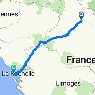
- 22 Rue des Aydes, Orléans à 10 Rue de l'Enclouze, Le Bois-Plage-en-Ré0
- 413.1 km
- 1,912 m
- 2,016 m
- Fleury-les-Aubrais, Centre-Val de Loire, France
- Ziua Zero: Gara Orleans - Camping Olivet0
- 11.6 km
- 46 m
- 63 m
- Fleury-les-Aubrais, Centre-Val de Loire, France


Open it in the app