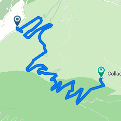
la anaconda
- 3.8 km
- 566 m
- 111 m
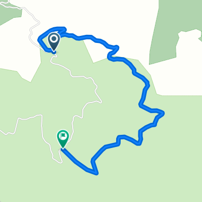
- Alcaucín, Andalusia, Spain
Includes 'cuesta del chino pass'
Road
47.4 km70 %Quiet road
19 km28 %Track
1.4 km2 %Paved
34.5 km(51 %)Unpaved
6.1 km(9 %)Asphalt
34.5 km51 %Gravel
6.1 km9 %Undefined
27.1 km40 %Free trial for 3 days, or one-time payment. More about Bikemap Premium.
Discover more Premium features.
Get Bikemap PremiumOpen it in the app