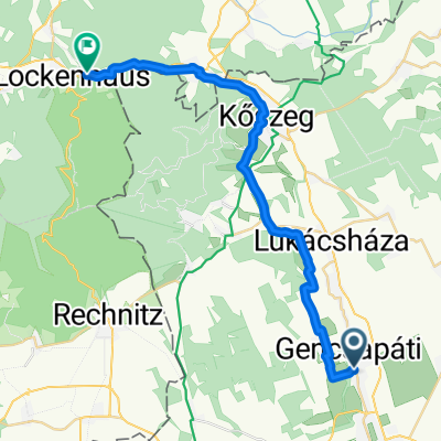
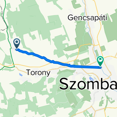
Réka Burg
A cycling route starting in GencsapĂĄti, Vas, Hungary.
Overview
About this route
- 2 h 22 min
- Duration
- 38.5 km
- Distance
- 1,406 m
- Ascent
- 1,436 m
- Descent
- 16.3 km/h
- Avg. speed
- ---
- Avg. speed
Route quality
Waytypes & surfaces along the route
Waytypes
Busy road
21 km
(55 %)
Quiet road
5.2 km
(13 %)
Surfaces
Paved
20.7 km
(54 %)
Unpaved
0.2 km
(<1 %)
Asphalt
19.7 km
(51 %)
Paved (undefined)
0.9 km
(2 %)
Continue with Bikemap
Use, edit, or download this cycling route
You would like to ride Réka Burg or customize it for your own trip? Here is what you can do with this Bikemap route:
Free features
- Save this route as favorite or in collections
- Copy & plan your own version of this route
- Sync your route with Garmin or Wahoo
Premium features
Free trial for 3 days, or one-time payment. More about Bikemap Premium.
- Navigate this route on iOS & Android
- Export a GPX / KML file of this route
- Create your custom printout (try it for free)
- Download this route for offline navigation
Discover more Premium features.
Get Bikemap PremiumFrom our community
Other popular routes starting in GencsapĂĄti
- gencs-brno
- Distance
- 311 km
- Ascent
- 1,800 m
- Descent
- 1,817 m
- Location
- GencsapĂĄti, Vas, Hungary
- Réka Burg
- Distance
- 38.5 km
- Ascent
- 1,406 m
- Descent
- 1,436 m
- Location
- GencsapĂĄti, Vas, Hungary
- Szombathely - KĆszeg - Szent Vid - Szombathely
- Distance
- 79.7 km
- Ascent
- 734 m
- Descent
- 733 m
- Location
- GencsapĂĄti, Vas, Hungary
- szhelyi vĂĄroskarika
- Distance
- 18.3 km
- Ascent
- 23 m
- Descent
- 25 m
- Location
- GencsapĂĄti, Vas, Hungary
- HATĂRON ĂTNYĂLĂ KERĂKPĂROS ĂLMĂNYTĂRA II.
- Distance
- 56.3 km
- Ascent
- 286 m
- Descent
- 237 m
- Location
- GencsapĂĄti, Vas, Hungary
- gencs-linz
- Distance
- 381.4 km
- Ascent
- 1,899 m
- Descent
- 1,858 m
- Location
- GencsapĂĄti, Vas, Hungary
- Route from PetĆfi SĂĄndor utca 2, Bucsu
- Distance
- 209.6 km
- Ascent
- 1,561 m
- Descent
- 1,681 m
- Location
- GencsapĂĄti, Vas, Hungary
- HATĂRON ĂTNYĂLĂ KERĂKPĂROS ĂLMĂNYTĂRA I.
- Distance
- 60.4 km
- Ascent
- 337 m
- Descent
- 347 m
- Location
- GencsapĂĄti, Vas, Hungary
Open it in the app