

Kreuzberg 2019 Variante 1
A cycling route starting in Kolitzheim, Bavaria, Germany.
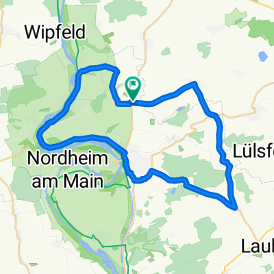
Overview
About this route
From Zeilitzheim via Schweinfurt and Münnerstadt to the Kreuzberg
- -:--
- Duration
- 109.3 km
- Distance
- 963 m
- Ascent
- 263 m
- Descent
- ---
- Avg. speed
- ---
- Max. altitude

Route quality
Waytypes & surfaces along the route
Waytypes
Track
44.8 km
(41 %)
Quiet road
20.8 km
(19 %)
Surfaces
Paved
78.7 km
(72 %)
Unpaved
24 km
(22 %)
Asphalt
67.8 km
(62 %)
Gravel
20.8 km
(19 %)
Continue with Bikemap
Use, edit, or download this cycling route
You would like to ride Kreuzberg 2019 Variante 1 or customize it for your own trip? Here is what you can do with this Bikemap route:
Free features
- Save this route as favorite or in collections
- Copy & plan your own version of this route
- Split it into stages to create a multi-day tour
- Sync your route with Garmin or Wahoo
Premium features
Free trial for 3 days, or one-time payment. More about Bikemap Premium.
- Navigate this route on iOS & Android
- Export a GPX / KML file of this route
- Create your custom printout (try it for free)
- Download this route for offline navigation
Discover more Premium features.
Get Bikemap PremiumFrom our community
Other popular routes starting in Kolitzheim
 Rotterdamm
- Distance
- 877.1 km
- Ascent
- 17 m
- Descent
- 273 m
- Location
- Kolitzheim, Bavaria, Germany
 Berg Wipfeld Stammheim
- Distance
- 32.7 km
- Ascent
- 108 m
- Descent
- 106 m
- Location
- Kolitzheim, Bavaria, Germany
 Hundelshausen - Theinheim
- Distance
- 33.5 km
- Ascent
- 210 m
- Descent
- 132 m
- Location
- Kolitzheim, Bavaria, Germany
 Schwebheim
- Distance
- 17.6 km
- Ascent
- 42 m
- Descent
- 44 m
- Location
- Kolitzheim, Bavaria, Germany
 Obereuerheim Hahnenhügel
- Distance
- 44.7 km
- Ascent
- 138 m
- Descent
- 135 m
- Location
- Kolitzheim, Bavaria, Germany
 Morgenrunde
- Distance
- 31.6 km
- Ascent
- 206 m
- Descent
- 204 m
- Location
- Kolitzheim, Bavaria, Germany
 Kreuzberg 2019 Variante 2
- Distance
- 99.6 km
- Ascent
- 1,050 m
- Descent
- 351 m
- Location
- Kolitzheim, Bavaria, Germany
 Zeilitzheim Münnerstadt Kreuzberg 2020
- Distance
- 98.3 km
- Ascent
- 945 m
- Descent
- 248 m
- Location
- Kolitzheim, Bavaria, Germany
Open it in the app