

zum Hochblauen
A cycling route starting in Schliengen, Baden-Wurttemberg, Germany.
Overview
About this route
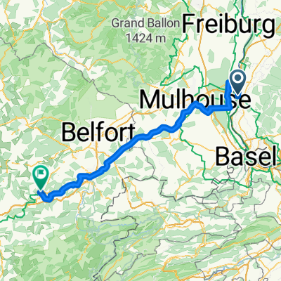
From Schliengen through Kandern up to Hochblauen with a great view over the Markgräflerland, then over Niederweiler and Müllheim-Vögisheim to Mauchen and back to Schliengen. Small mountain tour about 48km long.
- -:--
- Duration
- 47.5 km
- Distance
- 1,072 m
- Ascent
- 1,072 m
- Descent
- ---
- Avg. speed
- ---
- Max. altitude

Continue with Bikemap
Use, edit, or download this cycling route
You would like to ride zum Hochblauen or customize it for your own trip? Here is what you can do with this Bikemap route:
Free features
- Save this route as favorite or in collections
- Copy & plan your own version of this route
- Sync your route with Garmin or Wahoo
Premium features
Free trial for 3 days, or one-time payment. More about Bikemap Premium.
- Navigate this route on iOS & Android
- Export a GPX / KML file of this route
- Create your custom printout (try it for free)
- Download this route for offline navigation
Discover more Premium features.
Get Bikemap PremiumFrom our community
Other popular routes starting in Schliengen
 Bad Bellingen-Staufen und zurück
- Distance
- 57.9 km
- Ascent
- 236 m
- Descent
- 239 m
- Location
- Schliengen, Baden-Wurttemberg, Germany
 Samstagstour 08.03.2025
- Distance
- 71.9 km
- Ascent
- 1,127 m
- Descent
- 1,128 m
- Location
- Schliengen, Baden-Wurttemberg, Germany
 Steinenstadt - I´Isle-sur-le-Doubs (F) 23.08.07
- Distance
- 116.6 km
- Ascent
- 409 m
- Descent
- 315 m
- Location
- Schliengen, Baden-Wurttemberg, Germany
 Mountainbiketour am 16.05.2021
- Distance
- 45 km
- Ascent
- 0 m
- Descent
- 0 m
- Location
- Schliengen, Baden-Wurttemberg, Germany
 Schliengener Rundfahrt
- Distance
- 20.6 km
- Ascent
- 409 m
- Descent
- 328 m
- Location
- Schliengen, Baden-Wurttemberg, Germany
 Mauchen-Basel-Burnhaupt
- Distance
- 105.5 km
- Ascent
- 732 m
- Descent
- 691 m
- Location
- Schliengen, Baden-Wurttemberg, Germany
 zum Hochblauen
- Distance
- 47.5 km
- Ascent
- 1,072 m
- Descent
- 1,072 m
- Location
- Schliengen, Baden-Wurttemberg, Germany
 Blauen Tour
- Distance
- 55.8 km
- Ascent
- 1,092 m
- Descent
- 1,092 m
- Location
- Schliengen, Baden-Wurttemberg, Germany
Open it in the app