

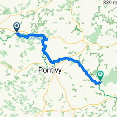
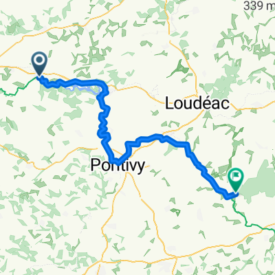
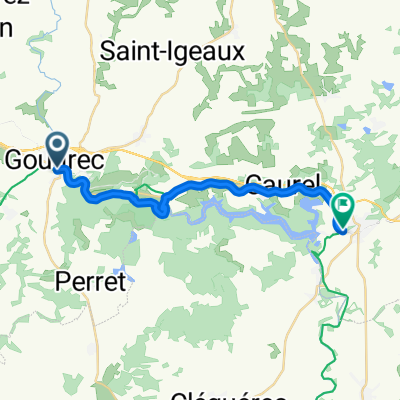
Voie verte - Lac de Gerlédan
A cycling route starting in Gouarec, Brittany Region, France.
Overview
About this route
- 58 min
- Duration
- 14.4 km
- Distance
- 422 m
- Ascent
- 429 m
- Descent
- 14.9 km/h
- Avg. speed
- ---
- Max. altitude

Route photos


Route quality
Waytypes & surfaces along the route
Waytypes
Path
11 km
(76 %)
Quiet road
2 km
(14 %)
Surfaces
Paved
1.2 km
(8 %)
Unpaved
7.9 km
(55 %)
Gravel
7.9 km
(55 %)
Asphalt
1 km
(7 %)
Continue with Bikemap
Use, edit, or download this cycling route
You would like to ride Voie verte - Lac de Gerlédan or customize it for your own trip? Here is what you can do with this Bikemap route:
Free features
- Save this route as favorite or in collections
- Copy & plan your own version of this route
- Sync your route with Garmin or Wahoo
Premium features
Free trial for 3 days, or one-time payment. More about Bikemap Premium.
- Navigate this route on iOS & Android
- Export a GPX / KML file of this route
- Create your custom printout (try it for free)
- Download this route for offline navigation
Discover more Premium features.
Get Bikemap PremiumFrom our community
Other popular routes starting in Gouarec
 Gouarec to Ile de Brehat and back
- Distance
- 247.9 km
- Ascent
- 824 m
- Descent
- 823 m
- Location
- Gouarec, Brittany Region, France
 De Le Cuilleret, Saint-Gelven à Le Cuilleret, Saint-Gelven
- Distance
- 46 km
- Ascent
- 720 m
- Descent
- 724 m
- Location
- Gouarec, Brittany Region, France
 Gouarec-Les Forges
- Distance
- 72 km
- Ascent
- 594 m
- Descent
- 720 m
- Location
- Gouarec, Brittany Region, France
 Rue de la Gare nach Rue Aimé Jeglot
- Distance
- 76.8 km
- Ascent
- 471 m
- Descent
- 546 m
- Location
- Gouarec, Brittany Region, France
 Voie verte - Lac de Gerlédan
- Distance
- 14.4 km
- Ascent
- 422 m
- Descent
- 429 m
- Location
- Gouarec, Brittany Region, France
 CNaB - Etape 3 - Gouarec --- Pontivy
- Distance
- 36.9 km
- Ascent
- 205 m
- Descent
- 280 m
- Location
- Gouarec, Brittany Region, France
 Gouarec - Pontivy Loop
- Distance
- 71.1 km
- Ascent
- 318 m
- Descent
- 318 m
- Location
- Gouarec, Brittany Region, France
 Rue au Lin nach Rue de Bellevue
- Distance
- 18.9 km
- Ascent
- 236 m
- Descent
- 276 m
- Location
- Gouarec, Brittany Region, France
Open it in the app