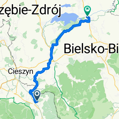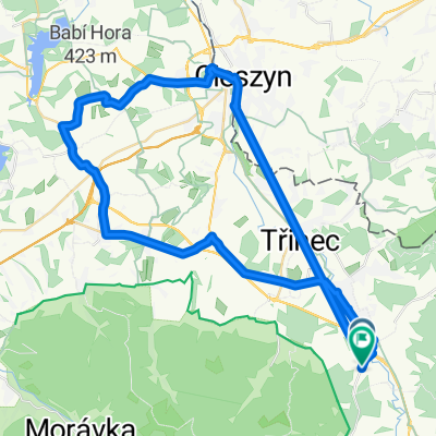
Bystřice do Bystřice
- 50.9 km
- 435 m
- 454 m
- Třinec, Moravskoslezský kraj, Czechia
A cycling route starting in Třinec, Moravskoslezský kraj, Czechia.
Overview
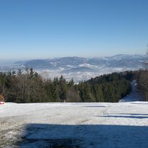
Route Details: start in Oldřichovice under the cable car to Javorový, then through Gutské Saddle to Šindelná – Morávka – Visalaje – Bílý Kříž – Slavíč - Lomná to Skalka. Surface of the route: the ride includes both paved forest roads and unpaved forest paths made up of grass and gravel surfaces. A mountain bike is recommended for this route. Points of interest: This route is designed primarily for MTB enthusiasts, featuring three climbs to the ridge. The route mainly goes through forests. Attractions along the route include the Morávka valley, the Morávka reservoir, Visalaje, Bílý Kříž, and the Slavíč hut. Recommendation: this route is suitable for very fit cyclists.
created this 15 years ago
Route highlights
Hotel Sulov
Continue with Bikemap
You would like to ride 1: pro velmi zdatné cyklisty or customize it for your own trip? Here is what you can do with this Bikemap route:
Free trial for 3 days, or one-time payment. More about Bikemap Premium.
Discover more Premium features.
Get Bikemap PremiumFrom our community
Open it in the app