IL giro dei Pirenei
- 170 km
- 3,957 m
- 3,075 m
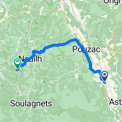
- Bagnères-de-Bigorre, Occitanie, France
A cycling route starting in Bagnères-de-Bigorre, Occitanie, France.
Overview
Tourmalet loop with a visit to the Pic du Midi de Bigorre observatory
created this 6 years ago
Route quality
Road
39.3 km
(35 %)
Quiet road
12.4 km
(11 %)
Paved
60.7 km
(54 %)
Unpaved
12.4 km
(11 %)
Asphalt
60.7 km
(54 %)
Gravel
12.4 km
(11 %)
Undefined
39.3 km
(35 %)
Continue with Bikemap
You would like to ride Boucle Tourmalet avec observatoire PdM or customize it for your own trip? Here is what you can do with this Bikemap route:
Free trial for 3 days, or one-time payment. More about Bikemap Premium.
Discover more Premium features.
Get Bikemap PremiumFrom our community
Open it in the app