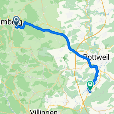
Schramberg-Aichhalden-Schenkenzell-Schiltach-Schramberg
A cycling route starting in Schramberg, Baden-Wurttemberg, Germany.
Overview
About this route
- -:--
- Duration
- 32.3 km
- Distance
- 469 m
- Ascent
- 475 m
- Descent
- ---
- Avg. speed
- ---
- Max. altitude
Route quality
Waytypes & surfaces along the route
Waytypes
Quiet road
13.9 km
(43 %)
Path
9 km
(28 %)
Surfaces
Paved
20.4 km
(63 %)
Unpaved
1.9 km
(6 %)
Asphalt
19.1 km
(59 %)
Paved (undefined)
1.3 km
(4 %)
Continue with Bikemap
Use, edit, or download this cycling route
You would like to ride Schramberg-Aichhalden-Schenkenzell-Schiltach-Schramberg or customize it for your own trip? Here is what you can do with this Bikemap route:
Free features
- Save this route as favorite or in collections
- Copy & plan your own version of this route
- Sync your route with Garmin or Wahoo
Premium features
Free trial for 3 days, or one-time payment. More about Bikemap Premium.
- Navigate this route on iOS & Android
- Export a GPX / KML file of this route
- Create your custom printout (try it for free)
- Download this route for offline navigation
Discover more Premium features.
Get Bikemap PremiumFrom our community
Other popular routes starting in Schramberg
- Donau-Quellflüsse
- Distance
- 107.9 km
- Ascent
- 731 m
- Descent
- 748 m
- Location
- Schramberg, Baden-Wurttemberg, Germany
- Sulgen " Windrädern" Sulgen
- Distance
- 42.9 km
- Ascent
- 353 m
- Descent
- 350 m
- Location
- Schramberg, Baden-Wurttemberg, Germany
- Von Trumpf Laser zum Weingut Herztal
- Distance
- 72 km
- Ascent
- 768 m
- Descent
- 1,276 m
- Location
- Schramberg, Baden-Wurttemberg, Germany
- Schramberg-Aichhalden-Schenkenzell-Schiltach-Schramberg
- Distance
- 32.3 km
- Ascent
- 469 m
- Descent
- 475 m
- Location
- Schramberg, Baden-Wurttemberg, Germany
- Schramberg-Langenschiltach-Schramberg
- Distance
- 45.7 km
- Ascent
- 1,237 m
- Descent
- 1,027 m
- Location
- Schramberg, Baden-Wurttemberg, Germany
- Feierabendrunde
- Distance
- 35.2 km
- Ascent
- 859 m
- Descent
- 859 m
- Location
- Schramberg, Baden-Wurttemberg, Germany
- Sulgen "Nikolauskirchlein" Sulgen
- Distance
- 32.2 km
- Ascent
- 408 m
- Descent
- 402 m
- Location
- Schramberg, Baden-Wurttemberg, Germany
- Zur größten Kuckucksuhr der Welt von Scharmberg
- Distance
- 51.6 km
- Ascent
- 1,436 m
- Descent
- 1,265 m
- Location
- Schramberg, Baden-Wurttemberg, Germany
Open it in the app