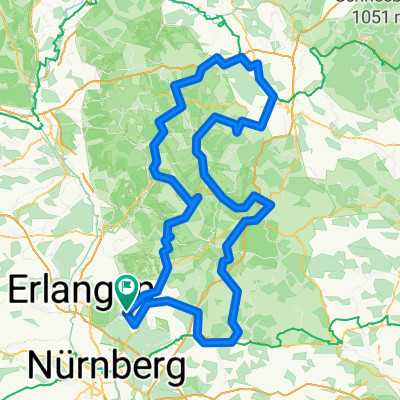
Rundtour Fränkische
- 250 km
- 4,532 m
- 4,533 m
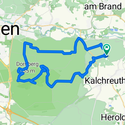
- Kalchreuth, Bavaria, Germany
A cycling route starting in Kalchreuth, Bavaria, Germany.
Overview
created this 6 years ago
Route quality
Path
0.9 km
(94 %)
Track
0.1 km
(6 %)
Unpaved
1 km
(100 %)
Ground
0.9 km
(94 %)
Pebblestone
0.1 km
(6 %)
Route highlights
kleinere Jumps- Übungsplatz
Continue with Bikemap
You would like to ride D_Bayern_Nürnberg-Singletrail03_Kalchreuth-Teufelstisch or customize it for your own trip? Here is what you can do with this Bikemap route:
Free trial for 3 days, or one-time payment. More about Bikemap Premium.
Discover more Premium features.
Get Bikemap PremiumFrom our community
Open it in the app