
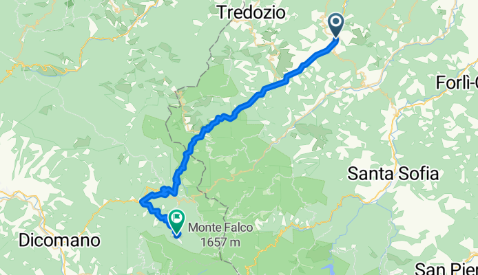
CSA Tappa 16-17-18 Rocca san Casciano-Castagno D'Andrea
A cycling route starting in Rocca San Casciano, Emilia-Romagna, Italy.
Overview
About this route
Portico di Romagna-San Benedetto in Alpe-Cascata Acqua Cheta-Rio Destro Riding School-Villa i Ciliegi-Hermitage of the Toschi
- -:--
- Duration
- 39.3 km
- Distance
- 1,090 m
- Ascent
- 582 m
- Descent
- ---
- Avg. speed
- ---
- Max. altitude

Route quality
Waytypes & surfaces along the route
Waytypes
Road
5.9 km
(15 %)
Quiet road
1.6 km
(4 %)
Surfaces
Paved
25.6 km
(65 %)
Asphalt
25.6 km
(65 %)
Undefined
13.8 km
(35 %)
Continue with Bikemap
Use, edit, or download this cycling route
You would like to ride CSA Tappa 16-17-18 Rocca san Casciano-Castagno D'Andrea or customize it for your own trip? Here is what you can do with this Bikemap route:
Free features
- Save this route as favorite or in collections
- Copy & plan your own version of this route
- Sync your route with Garmin or Wahoo
Premium features
Free trial for 3 days, or one-time payment. More about Bikemap Premium.
- Navigate this route on iOS & Android
- Export a GPX / KML file of this route
- Create your custom printout (try it for free)
- Download this route for offline navigation
Discover more Premium features.
Get Bikemap PremiumFrom our community
Other popular routes starting in Rocca San Casciano
 Rocca San Casciano-San Benedetto in Alpe
- Distance
- 33.5 km
- Ascent
- 934 m
- Descent
- 651 m
- Location
- Rocca San Casciano, Emilia-Romagna, Italy
 mmmmmmm
- Distance
- 142.8 km
- Ascent
- 2,665 m
- Descent
- 2,667 m
- Location
- Rocca San Casciano, Emilia-Romagna, Italy
 Villach - Florenz / Tag 6
- Distance
- 78.6 km
- Ascent
- 751 m
- Descent
- 926 m
- Location
- Rocca San Casciano, Emilia-Romagna, Italy
 CSA Tappa 16-17-18 Rocca san Casciano-Castagno D'Andrea
- Distance
- 39.3 km
- Ascent
- 1,090 m
- Descent
- 582 m
- Location
- Rocca San Casciano, Emilia-Romagna, Italy
 Rocca San Casciano Parco Naz Foreste Casent
- Distance
- 87.9 km
- Ascent
- 1,595 m
- Descent
- 1,599 m
- Location
- Rocca San Casciano, Emilia-Romagna, Italy
 vulcano M.Busca
- Distance
- 16.5 km
- Ascent
- 577 m
- Descent
- 576 m
- Location
- Rocca San Casciano, Emilia-Romagna, Italy
 TAPPA 16: ROCCA SAN CASCIANO - PORTICO DI ROMAGNA
- Distance
- 8.2 km
- Ascent
- 187 m
- Descent
- 109 m
- Location
- Rocca San Casciano, Emilia-Romagna, Italy
 Montepiano - Poretta Terme
- Distance
- 34.3 km
- Ascent
- ---
- Descent
- ---
- Location
- Rocca San Casciano, Emilia-Romagna, Italy
Open it in the app