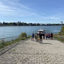
Winterfeierabendrunde an die Sieg
- 39.5 km
- 182 m
- 182 m
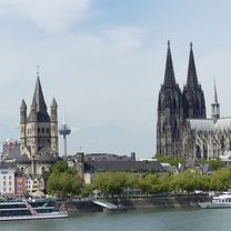
- Bonn, North Rhine-Westphalia, Germany
A cycling route starting in Bonn, North Rhine-Westphalia, Germany.
Overview
created this 6 years ago
Route quality
Pedestrian area
1.6 km
(43 %)
Path
1.1 km
(30 %)
Paved
2.7 km
(70 %)
Unpaved
0.6 km
(15 %)
Asphalt
2.7 km
(70 %)
Sand
0.3 km
(7 %)
Continue with Bikemap
You would like to ride Langsame Fahrt in Bonn or customize it for your own trip? Here is what you can do with this Bikemap route:
Free trial for 3 days, or one-time payment. More about Bikemap Premium.
Discover more Premium features.
Get Bikemap PremiumFrom our community
Open it in the app