

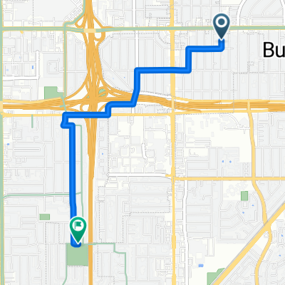
South Bay Loop
A cycling route starting in Burbank, California, United States.
Overview
About this route
Loop around the South Bay
- -:--
- Duration
- 121.2 km
- Distance
- 455 m
- Ascent
- 452 m
- Descent
- ---
- Avg. speed
- ---
- Max. altitude

Route quality
Waytypes & surfaces along the route
Waytypes
Road
27.9 km
(23 %)
Quiet road
27.9 km
(23 %)
Surfaces
Paved
58.2 km
(48 %)
Asphalt
53.3 km
(44 %)
Paved (undefined)
2.4 km
(2 %)
Continue with Bikemap
Use, edit, or download this cycling route
You would like to ride South Bay Loop or customize it for your own trip? Here is what you can do with this Bikemap route:
Free features
- Save this route as favorite or in collections
- Copy & plan your own version of this route
- Split it into stages to create a multi-day tour
- Sync your route with Garmin or Wahoo
Premium features
Free trial for 3 days, or one-time payment. More about Bikemap Premium.
- Navigate this route on iOS & Android
- Export a GPX / KML file of this route
- Create your custom printout (try it for free)
- Download this route for offline navigation
Discover more Premium features.
Get Bikemap PremiumFrom our community
Other popular routes starting in Burbank
 SJ to SC w/ branciforty
- Distance
- 64.7 km
- Ascent
- 665 m
- Descent
- 692 m
- Location
- Burbank, California, United States
 Aquino to Guadalupe
- Distance
- 26.8 km
- Ascent
- 51 m
- Descent
- 53 m
- Location
- Burbank, California, United States
 3/13 Ride
- Distance
- 42.1 km
- Ascent
- 239 m
- Descent
- 238 m
- Location
- Burbank, California, United States
 Monroe Terr, San Jose to 10000 Alma Bridge Rd, Los Gatos
- Distance
- 17.2 km
- Ascent
- 281 m
- Descent
- 120 m
- Location
- Burbank, California, United States
 360 Leland Ave, San Jose to 2747 Westfield Ave, San Jose
- Distance
- 3.5 km
- Ascent
- 10 m
- Descent
- 0 m
- Location
- Burbank, California, United States
 Bascom station to champion station
- Distance
- 14.3 km
- Ascent
- 174 m
- Descent
- 227 m
- Location
- Burbank, California, United States
 934 Hilmar St, Santa Clara to 934 Hilmar St, Santa Clara
- Distance
- 31.2 km
- Ascent
- 0 m
- Descent
- 24 m
- Location
- Burbank, California, United States
 South Bay Loop
- Distance
- 121.2 km
- Ascent
- 455 m
- Descent
- 452 m
- Location
- Burbank, California, United States
Open it in the app