

Han 4 River Bike Trail - South Korea
A cycling route starting in Busan, Busan, South Korea.
Overview
About this route
Planning in progress. CC stands for Certification Center
- -:--
- Duration
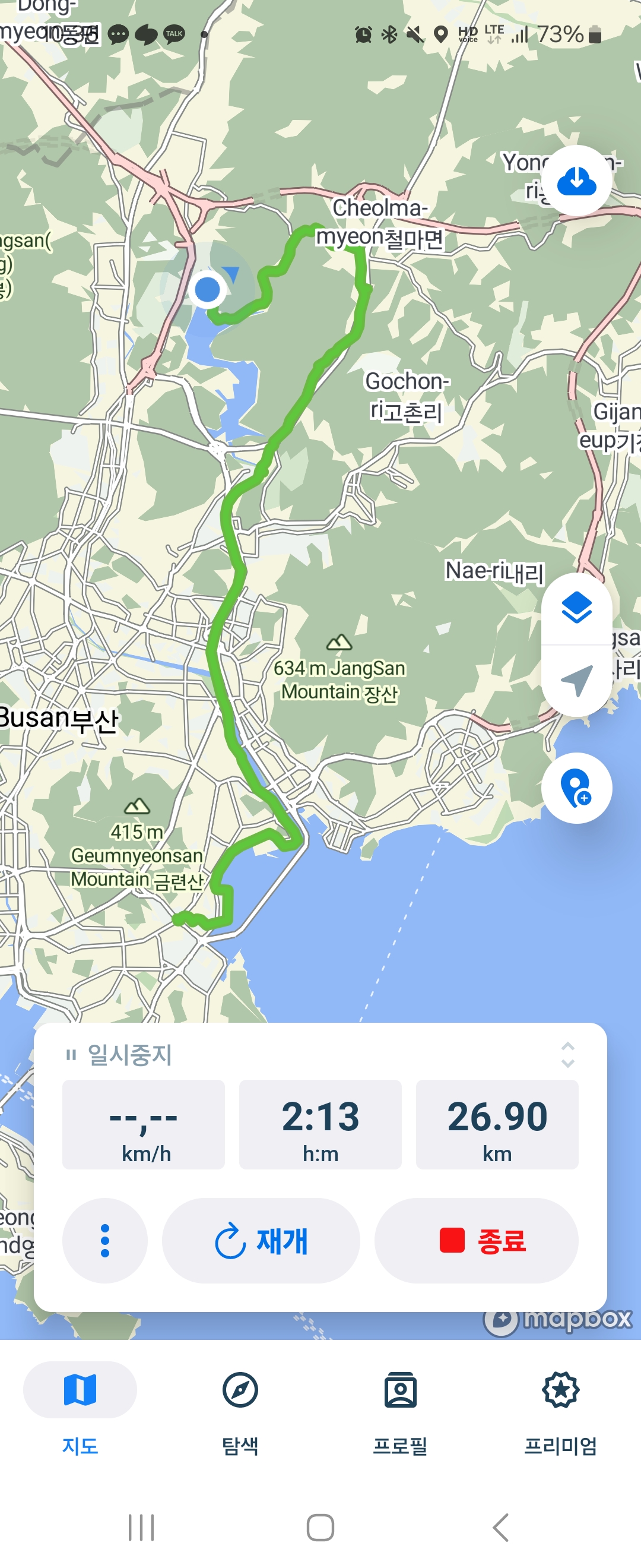
- 756.7 km
- Distance
- 575 m
- Ascent
- 581 m
- Descent
- ---
- Avg. speed
- ---
- Max. altitude

Route quality
Waytypes & surfaces along the route
Waytypes
Cycleway
484.3 km
(64 %)
Road
105.9 km
(14 %)
Surfaces
Paved
658.3 km
(87 %)
Asphalt
514.5 km
(68 %)
Concrete
143.8 km
(19 %)
Undefined
98.4 km
(13 %)
Route highlights
Points of interest along the route
Point of interest after 0 km
++ DELTA-12 ++ 35°06'31.3"N 128°56'52.5"E Nakdonggang Estuary Bank (CC)
Point of interest after 26.4 km
++ DELTA-11 ++ 35°18'59.8"N 128°58'25.9"E Yangsan Water Culture Center (CC)
Point of interest after 88.8 km
++ DELTA-10 ++ 35°22'39.1"N 128°33'02.1"E Hamanbo (CC) 함안보
Point of interest after 143.8 km
++ DELTA-9 ++ 35°35'32.2"N 128°21'38.6"E Changyeongbo (CC) 창넝보
Point of interest after 177.2 km
++ DELTA-8 ++ 35°44'13.7"N 128°25'09.0"E Dalseongbo (CC) 달성보
Point of interest after 198.2 km
++ DELTA-7 ++ 35°50'30.2"N 128°27'45.6"E Gangjeong Goryeongbo 강정고령보
Point of interest after 223.7 km
++ DELTA-6 ++ 36°01'04.4"N 128°24'04.5"E Chilgokbo (CC) 칠곡보
Point of interest after 253.7 km
++ DELTA-5 ++ 36°14'11.2"N 128°20'58.1"E Gumibo (CC) 구미보
Point of interest after 271.1 km
++ DELTA-4 ++ 36°21'32.6"N 128°18'24.5"E Nakdanbo (CC) 낙단보
Point of interest after 287.8 km
++ DELTA-3 ++ 36°25'54.1"N 128°15'00.0"E Sangjubo (CC) 상주보
Point of interest after 365.1 km
++ DELTA-1 ++ 36°34'51.0"N 128°45'51.8"E Andong Dam 안동댐
Point of interest after 433.3 km
++ CHARLIE-6 / DELTA-2 ++ 36°29'56.6"N 128°15'57.9"E Sangpung Bridge (CC) 상풍교
Drinking water after 465 km
Certification Centre
Point of interest after 467.4 km
++ CHARLIE-5 ++ 36°39'17.0"N 128°07'44.4"E Mungyeong buljeongyeok
Point of interest after 486.8 km
++ CHARLIE-4 ++ 36°45'06.0"N 128°01'53.6"E Ihwaryeong Rest Area 이화령휴게소
Point of interest after 492.1 km
++ CHARLIE-3 ++ 36°45'58.0"N 128°00'04.7"E Haengchon Crossroads (CC)
Drinking water after 502.6 km
Suanbo Oncheon?
Point of interest after 504.3 km
++ CHARLIE-2 ++ 36°50'54.0"N 127°59'22.8"E Suanbo Tourist Centre (CC)
Point of interest after 531.9 km
++ CHARLIE-1 ++ 36°59'22.1"N 127°54'12.6"E Chungju Tan-geumdae (CC)
Point of interest after 543.3 km
++ BRAVO-12 ++ 37°00'20.0"N 127°59'28.1"E Chungju Dam
Point of interest after 578.7 km
++ BRAVO-11 ++ 37°06'37.3"N 127°48'33.9"E Binaeseom (CC) 비내섬 인증센터
Point of interest after 606.9 km
++ BRAVO-10 ++ 37°16'38.1"N 127°40'51.5"E Gangcheonbo (CC)
Point of interest after 617.4 km
++ BRAVO-9 ++ 37°19'36.1"N 127°36'15.6"E Yeojubo (CC) 여주보
Point of interest after 630.9 km
++ BRAVO-8 ++ 37°24'18.2"N 127°32'09.6"E Ipobo (CC)
Point of interest after 646 km
++ BRAVO-7 ++ 37°33'13.2"N 127°18'45.0"E Yangpeong Art Museum
Point of interest after 666.5 km
++ BRAVO-6 ++ 37°33'13.2"N 127°18'45.0"E Balgeun Gwangjang (CC)
Point of interest after 670.2 km
++ BRAVO-5 ++ 37°31'20.5"N 127°17'42.1"E Neungnae Station
Point of interest after 694 km
++ BRAVO-4 ++ 37°32'42.2"N 127°07'08.6"E Gwangnaru Bike Park (CC)
Point of interest after 701.3 km
++ BRAVO-3 ++ 37°31'50.9"N 127°03'47.7"E Ttukseom Observation Complex
Point of interest after 719.2 km
++ BRAVO-2 ++ 37°31'49.1"N 126°55'41.2"E Yeouido Han-gang
Point of interest after 734.5 km
++ ALPHA-2/BRAVO-1 ++ 37°35'57.0"N 126°48'00.8"E Ara Han-gang Lock (CC)
Point of interest after 756.7 km
++ ALPHA-1 ++ 37°33'25.0"N 126°36'14.8"E Ara West Sea Lock
Continue with Bikemap
Use, edit, or download this cycling route
You would like to ride Han 4 River Bike Trail - South Korea or customize it for your own trip? Here is what you can do with this Bikemap route:
Free features
- Save this route as favorite or in collections
- Copy & plan your own version of this route
- Split it into stages to create a multi-day tour
- Sync your route with Garmin or Wahoo
Premium features
Free trial for 3 days, or one-time payment. More about Bikemap Premium.
- Navigate this route on iOS & Android
- Export a GPX / KML file of this route
- Create your custom printout (try it for free)
- Download this route for offline navigation
Discover more Premium features.
Get Bikemap PremiumFrom our community
Other popular routes starting in Busan
 World S Korea
- Distance
- 530.6 km
- Ascent
- 836 m
- Descent
- 825 m
- Location
- Busan, Busan, South Korea
 Corée 30j(22b-8v)
- Distance
- 1,966.7 km
- Ascent
- 1,960 m
- Descent
- 1,945 m
- Location
- Busan, Busan, South Korea
 사직3동 9−12 to 온천3동 1453−7
- Distance
- 17.6 km
- Ascent
- 298 m
- Descent
- 289 m
- Location
- Busan, Busan, South Korea
 Route to Seoul Seoul-Jikhalsi
- Distance
- 517.8 km
- Ascent
- 5,249 m
- Descent
- 5,371 m
- Location
- Busan, Busan, South Korea
 Slow ride
- Distance
- 64 km
- Ascent
- 260 m
- Descent
- 254 m
- Location
- Busan, Busan, South Korea
 안정적인 라이딩
- Distance
- 50.1 km
- Ascent
- 1,090 m
- Descent
- 1,131 m
- Location
- Busan, Busan, South Korea
 아파트 이기대 오륙도선착장 아파트
- Distance
- 31.8 km
- Ascent
- 582 m
- Descent
- 583 m
- Location
- Busan, Busan, South Korea
 4 Rivers Seoul to Busan
- Distance
- 519.1 km
- Ascent
- 5,757 m
- Descent
- 5,743 m
- Location
- Busan, Busan, South Korea
Open it in the app